search.ch

Arosa-Ochsenalp Rundtour

Local route No. 768, Arosa, Bahnhof–Arosa, Bahnhof
  • Image 1

Description

Local route
No. 768 (Arosa, Bahnhof–Arosa, Bahnhof)
Length
15 km
Ascent • Descent
↑ 640 m • ↓ 640 m
Lowest point • Highest point
1738 m • 2142 m
Hiking time
4 h 20 min
Grade
medium (mountain hiking trail)
Fitness level
medium
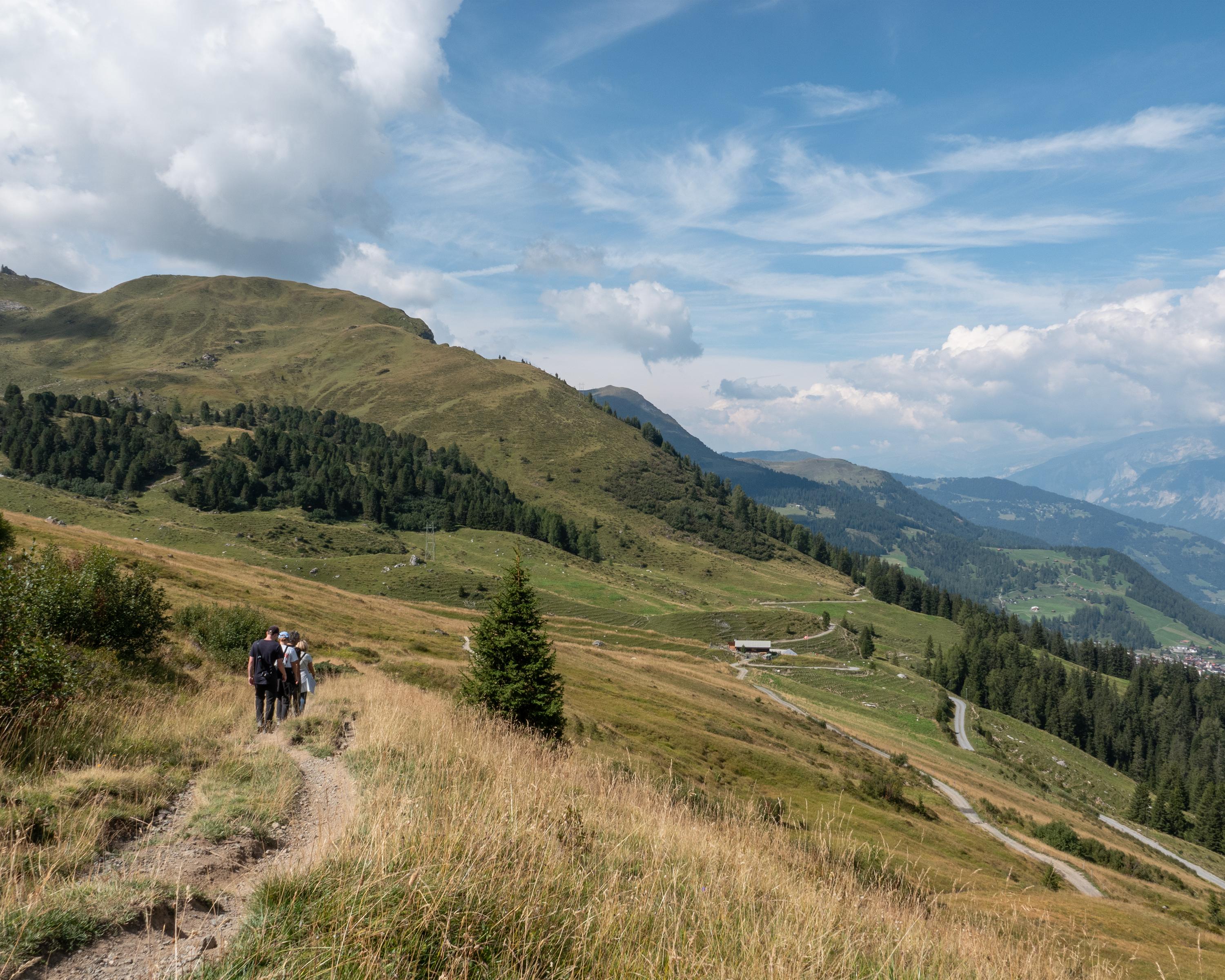
The big star of this hike is the diverse landscape around Arosa. From the highest point, the «Hauptichopf» peak, you can enjoy the splendid panorama of the Schanfigg and Rhine Valleys near Chur. Due to its convenient location, the trail is accessible from spring onwards and a popular early-season route.

Booking Information

Height profile

Weather:

Comments about this activity or place?

Thank you for your feedback!