search.ch

Walserweg

Regional route No. 35, Turrahus–Safien Platz
  • Image 1

Description

Regional route
No. 35 (Turrahus–Safien Platz)
Length
11 km
Ascent • Descent
↑ 400 m • ↓ 780 m
Lowest point • Highest point
1315 m • 1962 m
Hiking time
3 h 20 min
Grade
medium (mountain hiking trail)
Fitness level
medium
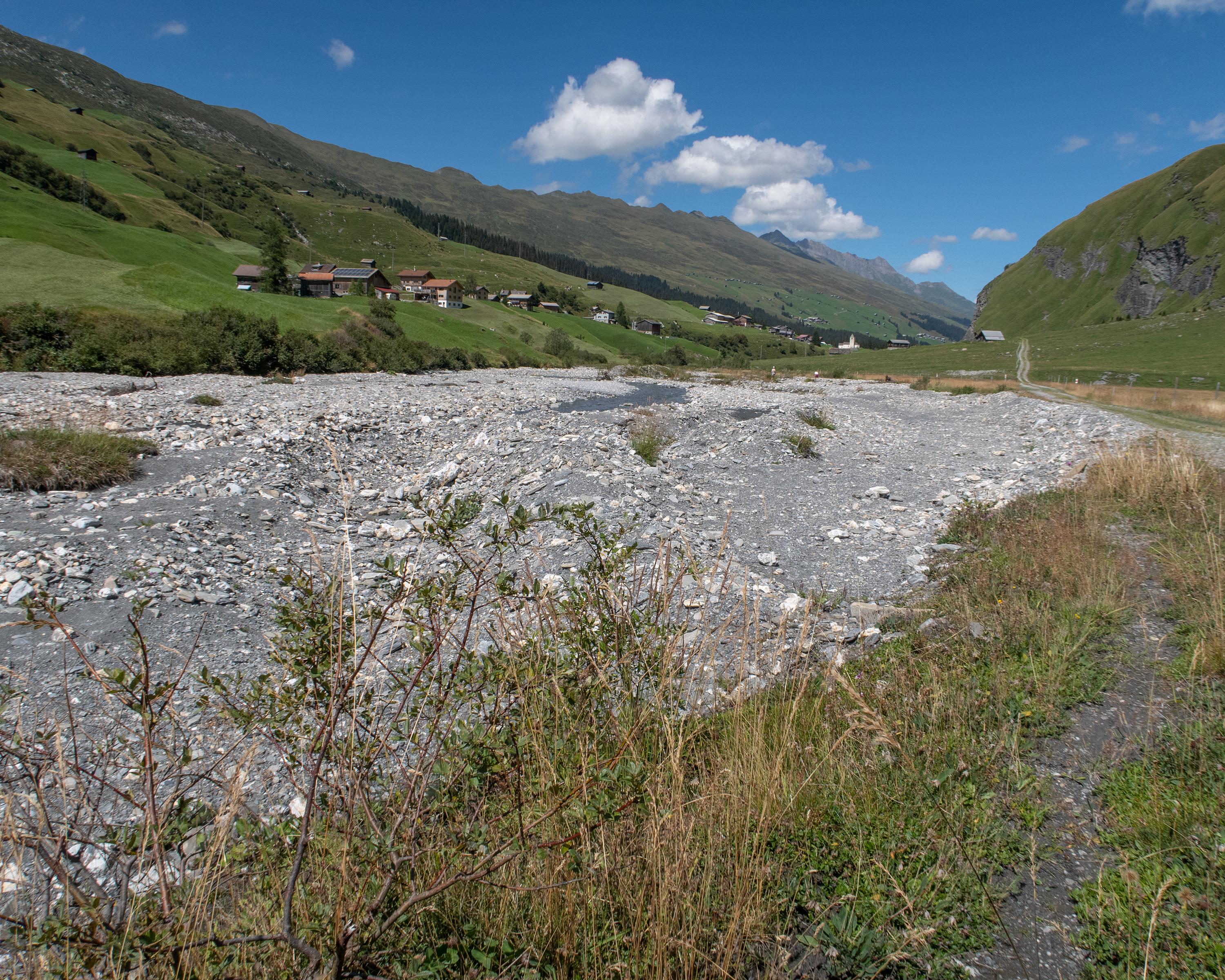
The route climbs through the hilly countryside of the Safien valley between mighty Grisons mountains to the Camaner huts at 1,982 metres above sea level before descending to Safien-Platz. There are no other villages in the entire valley. As in traditional Walser settlement culture, the buildings lie scattered over the hillsides.

Height profile

Weather:

Comments about this activity or place?

Thank you for your feedback!