search.ch

Appenzeller Weg

Regional route No. 44, Urnäsch–St. Peterzell
  • Image 1

Description

Regional route
No. 44 (Urnäsch–St. Peterzell)
Length
11 km
Ascent • Descent
↑ 400 m • ↓ 540 m
Lowest point • Highest point
701 m • 1127 m
Hiking time
3 h 10 min
Grade
easy (hiking trail)
Fitness level
medium
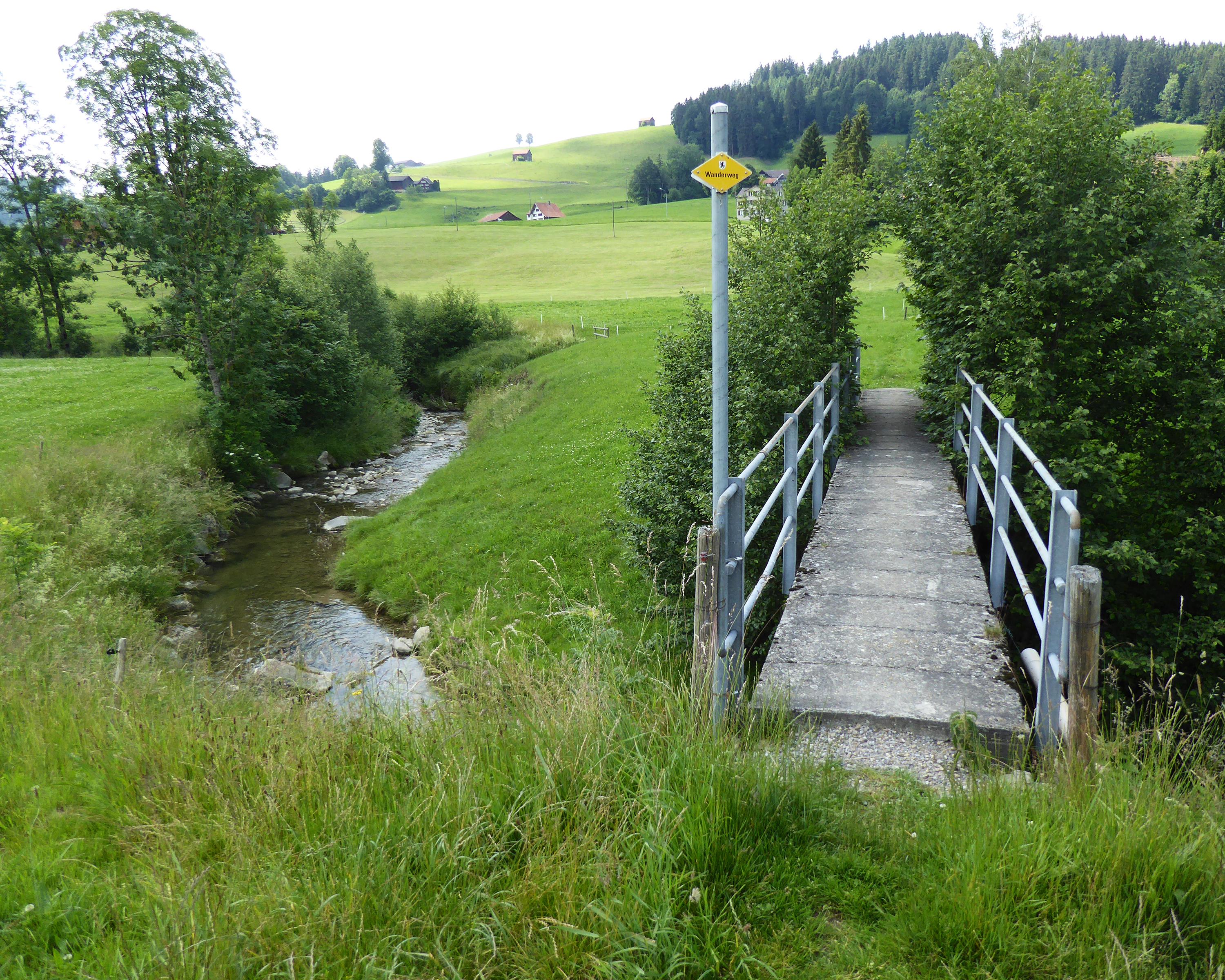
The route leads along the old Kirchweg via Tüfenberg with panoramic views of Schönengrund, waiting with its traditional taverns. On the other side of the Tüfibach stream (cantonal boundary), the old Toggenburg Landstrasse leads to the St. Gallen region and the former St. Peterzell Propstei Church.

Height profile

Weather:

Comments about this activity or place?

Thank you for your feedback!