search.ch

ViaBerna

Regional route No. 38, St-Imier–Nods
  • Image 1

Description

Regional route
No. 38 (St-Imier–Nods)
Length
11 km
Ascent • Descent
↑ 880 m • ↓ 780 m
Lowest point • Highest point
754 m • 1557 m
Hiking time
4 h
Grade
medium (mountain hiking trail)
Fitness level
medium
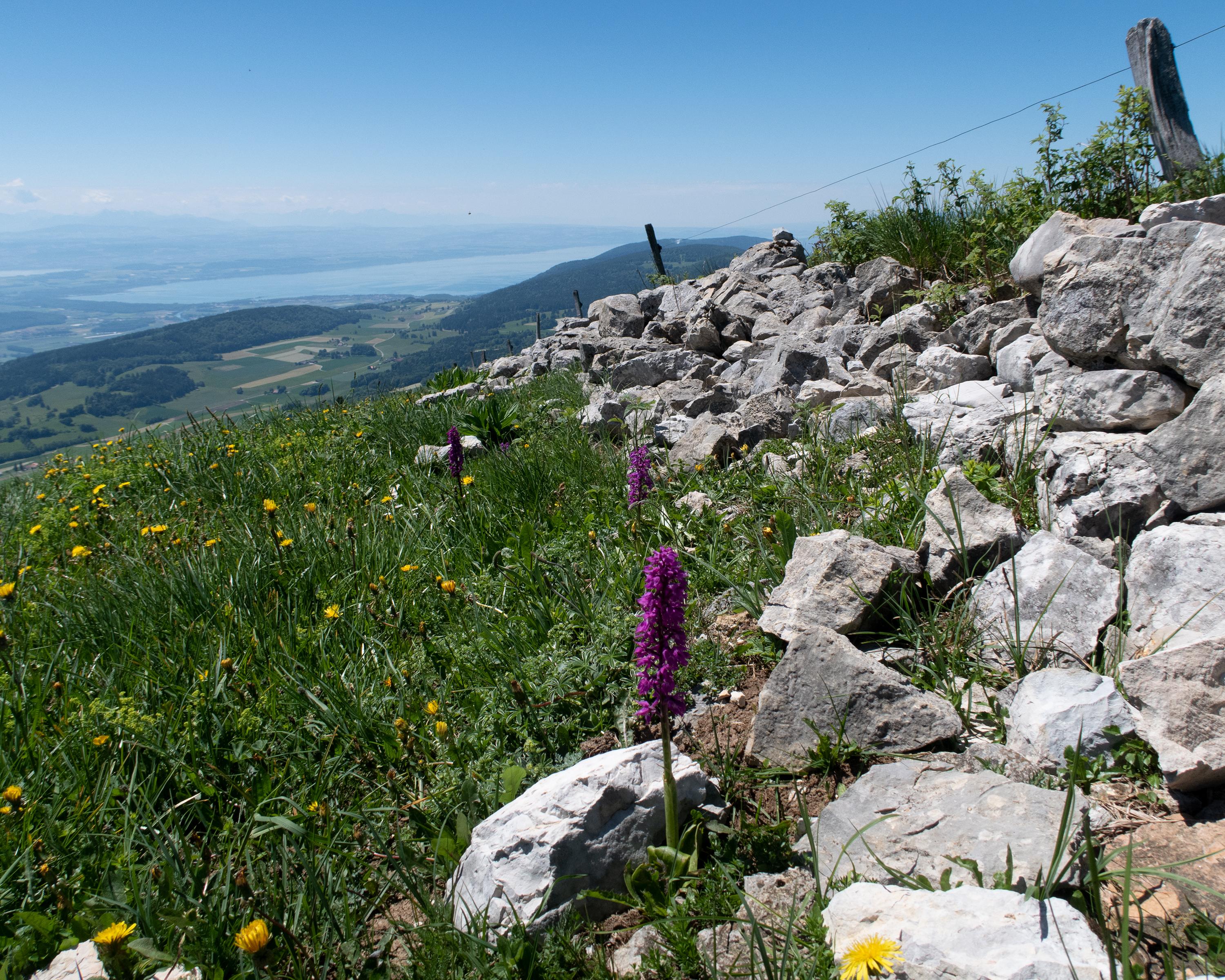
The first thing to do is conquer the seemingly insurmountable Combe Grède gorge. Ladders and well-secured paths take you to the Jura heights of the Chasseral with a view of the Three-Lakes countryside and the Alpine chain. A pleasant descent through pastures and forests leads down to the tranquil Jura village of Nods.

Height profile

Weather:

Comments about this activity or place?

Thank you for your feedback!