DE
FR
IT
EN
Directory
Weather
Map / Route
Timetable
Leisure
TV guide
Cinema
Web search
Apps
More
Personal Data »
Login:
Register
Password forgotten
or
Log in with local.ch
Log in with Apple
Log in with Facebook
Log in with Google
Log in with LinkedIn
Please note that our new
privacy statement
as well as the revised
terms and conditions of use
apply.
Leisure
Activities in Mol%C3%A9son-sur-Gruy%C3%A8res
Valais Alpine Bike
Regional route No. 41, Unterbäch–Grächen
Description
Regional route
No. 41 (Unterbäch–Grächen)
Length
33 km
Ascent • Descent
↑ 1150 m • ↓ 1600 m
Lowest point • Highest point
866 m • 2048 m
Grade
medium
Fitness level
medium
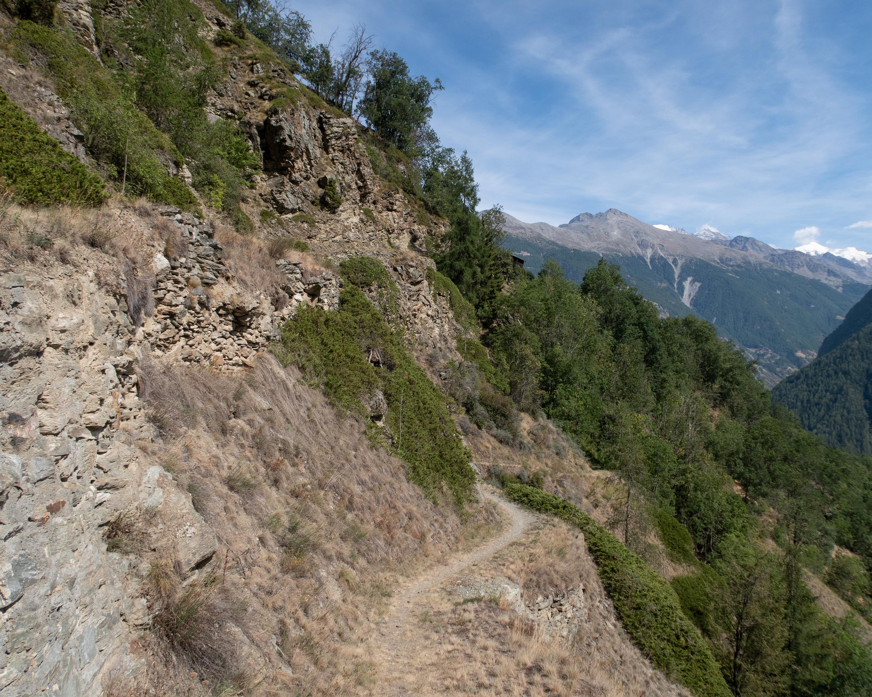
The forest road up to the Moosalp Pass gets the calves working. Surrounded by the Valais's 4,000-metre peaks, a flowing single-trail descent awaits you. The route descends through the larch forest to Törbel and a bit steeper into the Matter Valley.
Comments on this information?
We welcome your feedback!
Presented by
Route
Height profile
Weather:
More...
Comments about this activity or place?
Incorrect information
Missing information
Another topic
Thank you for your feedback!
Close