search.ch

Waldstätterweg

Regional route No. 98, Brunnen–Rütli
  • Image 1

Description

Regional route
No. 98 (Brunnen–Rütli)
Length
115 km
Ascent • Descent
↑ 4800 m • ↓ 4800 m
Lowest point • Highest point
433 m • 1081 m
Grade
medium (mountain hiking trail)
Fitness level
medium
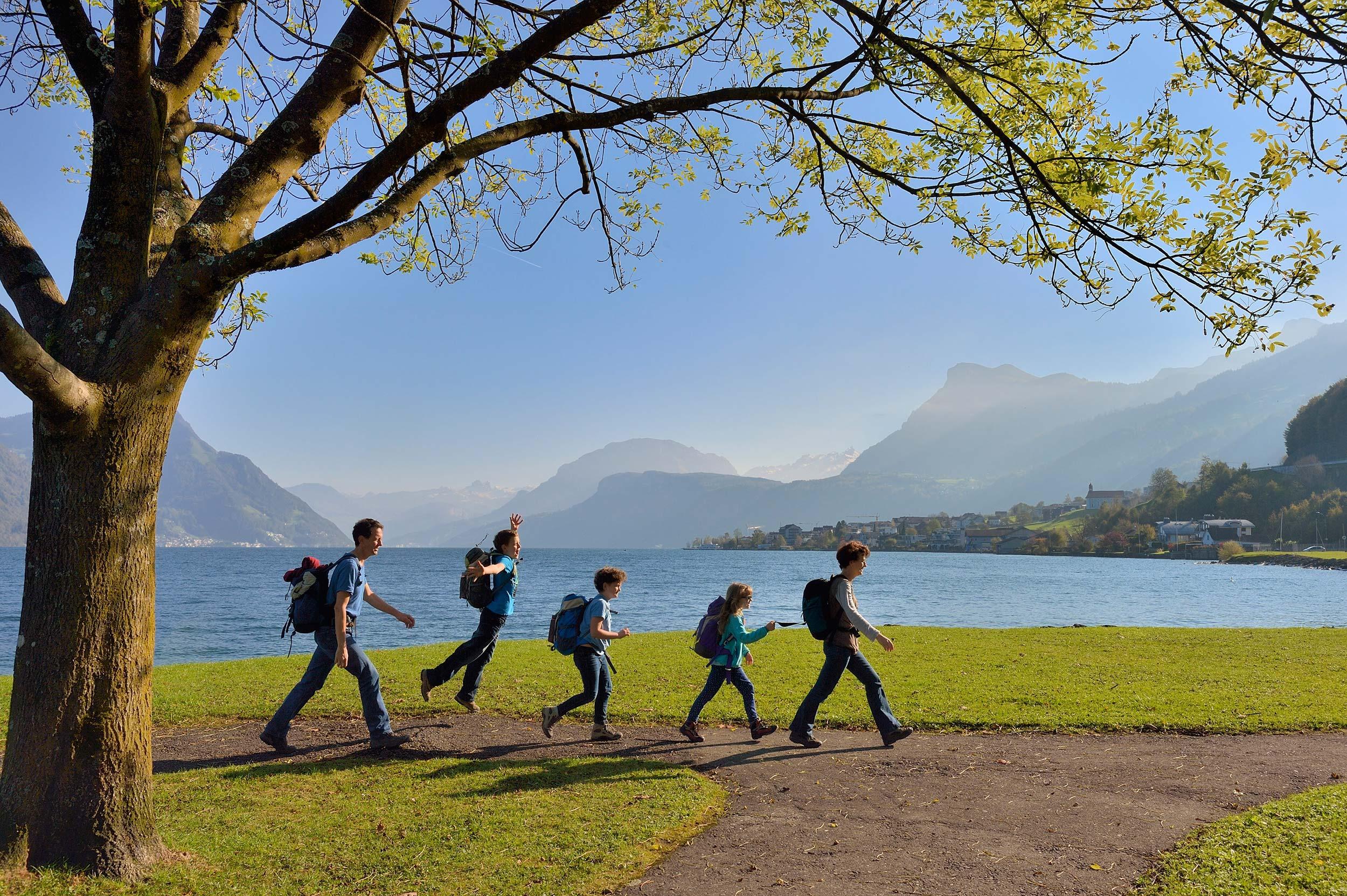
The Waldstätterweg leads around the touristic highlight of the Vierwaldstättersee (Lake Lucerne). Explore the natural and cultural landscape with its historic sites, villages, lake shores and city on foot. Discover the heart of Central Switzerland anew.

Height profile

Weather:

Comments about this activity or place?

Thank you for your feedback!