DE
FR
IT
EN
Directory
Weather
Map / Route
Timetable
Leisure
TV guide
Cinema
Web search
Apps
More
Personal Data »
Login:
Register
Password forgotten
or
Log in with local.ch
Log in with Apple
Log in with Facebook
Log in with Google
Log in with LinkedIn
Please note that our new
privacy statement
as well as the revised
terms and conditions of use
apply.
Leisure
Activities in Lucerne – Lake Lucerne Region
ViaJacobi, Stage 6/33
National route No. 4, Stage 6: Schwyz – Stans
Description
National route
No. 4 ()
Length
29 km
Ascent • Descent
↑ 880 m • ↓ 950 m
Lowest point • Highest point
434 m • 790 m
Hiking time
8 h
Grade
medium
Fitness level
difficult
National route No. 4:
Stages
1. Rorschach – Herisau
2. Herisau – Wattwil
3. Wattwil – Rapperswil (SG)
4. Rapperswil (SG) – Einsiedeln
5. Einsiedeln – Schwyz
6. Schwyz – Stans
7. Stans – Flüeli-Ranft
8. Flüeli-Ranft – Brünigpass
9. Brünigpass – Interlaken
10. Interlaken – Spiez
11. Spiez – Wattenwil
12. Wattenwil – Schwarzenburg
13. Schwarzenburg – Fribourg
14. Fribourg – Romont (FR)
15. Romont (FR) – Moudon
16. Moudon – Lausanne
17. Lausanne – Rolle
19. Coppet – Genève
20. Genève – Genève (Grenze)
21. Kreuzlingen (Konstanz, D) – Märstetten
22. Märstetten – Fischingen
23. Fischingen – Rapperswil (SG)
26. Werthenstein – Willisau
27. Willisau – Huttwil
28. Huttwil – Burgdorf
29. Burgdorf – Bern (Bärengraben)
30. Bern (Bärengraben) – Rüeggisberg
33. Payerne – Moudon (Curtilles)
34. Wattwil (Neuhaus) – Siebnen
35. Siebnen – Einsiedeln (St. Meinrad)
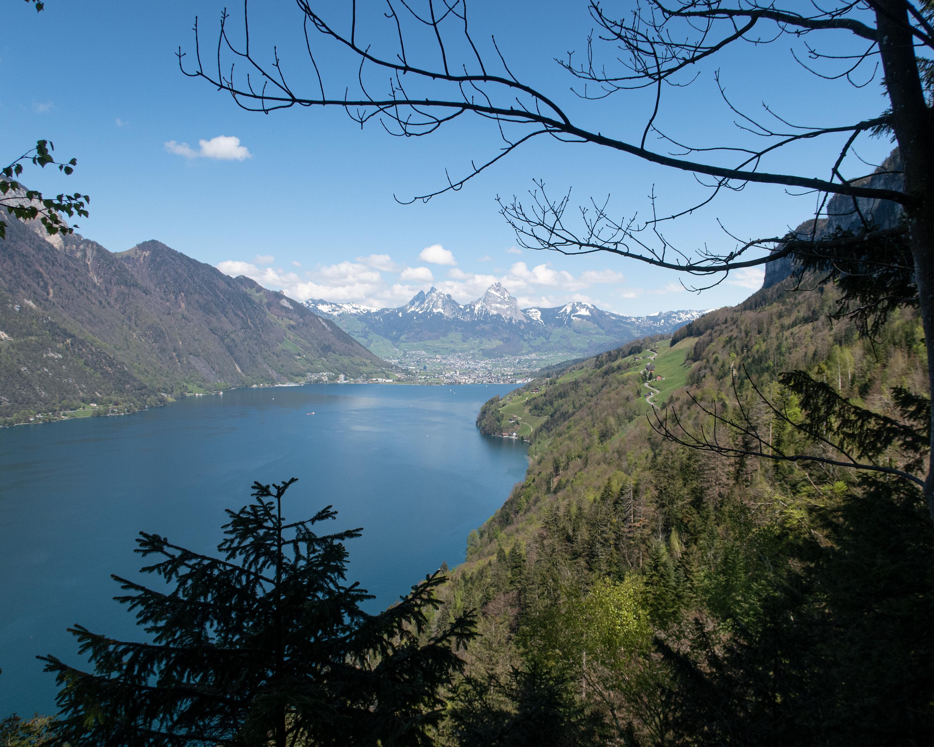
This stage includes a boat trip from Brunnen to Treib, where the cantons of Uri, Schwyz and Nidwalden meet. The chapels along the way and the Winkelried monument in Stans are worth seeing.
Comments on this information?
We welcome your feedback!
Presented by
Route
Height profile
Weather:
More...
Comments about this activity or place?
Incorrect information
Missing information
Another topic
Thank you for your feedback!
Close