DE
FR
IT
EN
Directory
Weather
Map / Route
Timetable
Leisure
TV guide
Cinema
Web search
Apps
More
Personal Data »
Login:
Register
Password forgotten
or
Log in with local.ch
Log in with Apple
Log in with Facebook
Log in with Google
Log in with LinkedIn
Please note that our new
privacy statement
as well as the revised
terms and conditions of use
apply.
Leisure
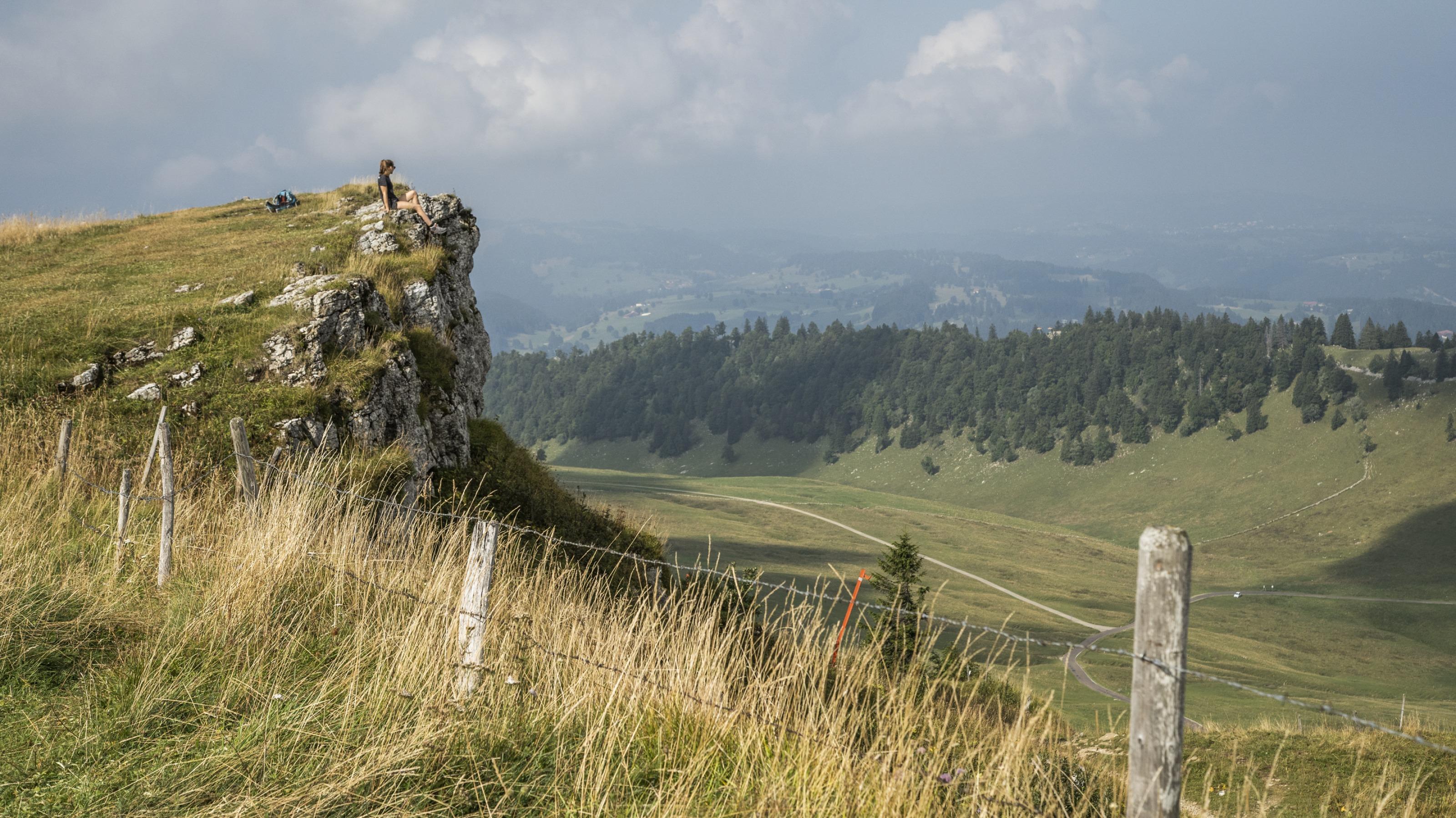
Hike in Val-de-Ruz
Jura Crest Trail, Stage 8/16
National route No. 5, Stage 8: Chasseral – Vue des Alpes
Description
National route
No. 5 (Dielsdorf – Nyon)
Length
20 km
Ascent • Descent
↑ 700 m • ↓ 1000 m
Lowest point • Highest point
868 m • 1607 m
Hiking time
5 h 40 min
Grade
easy
Fitness level
difficult
National route No. 5:
Jura Crest Trail
Stages
1. Dielsdorf – Brugg
2. Brugg AG – Staffelegg
3. Staffelegg – Hauenstein
4. Hauenstein – Balsthal
5. Balsthal – Weissenstein
6. Weissenstein – Frinvillier
7. Frinvillier – Chasseral
8. Chasseral – Vue des Alpes
9. Vue des Alpes – Noiraigue
10. Noiraigue – Les Rochats
11. Les Rochats – Ste-Croix
12. Ste-Croix – Ballaigues
13. Ballaigues – Le Pont
14. Le Pont – Col du Marchairuz
15. Col du Marchairuz – St-Cergue
16. St-Cergue – Nyon
A varied hike between the upper St.Imier Valley and the Val de Ruz Valley with the winter-sports resort, Le Pâquier (hometown of ski-ace Didier Cuche). The top of the Vue des Alpes pass is not far from watch metropolis La Chaux-de-Fonds.
Comments on this information?
We welcome your feedback!
Presented by
Route
Height profile
Weather:
More...
Comments about this activity or place?
Incorrect information
Missing information
Another topic
Thank you for your feedback!
Close