search.ch

Val-de-Ruz Bike

Local route No. 745, Les Hauts-Geneveys–Les Hauts-Geneveys
  • Image 1

Description

Local route
No. 745 (Les Hauts-Geneveys–Les Hauts-Geneveys)
Length
32 km
Ascent • Descent
↑ 720 m • ↓ 720 m
Lowest point • Highest point
645 m • 979 m
Grade
easy
Fitness level
easy
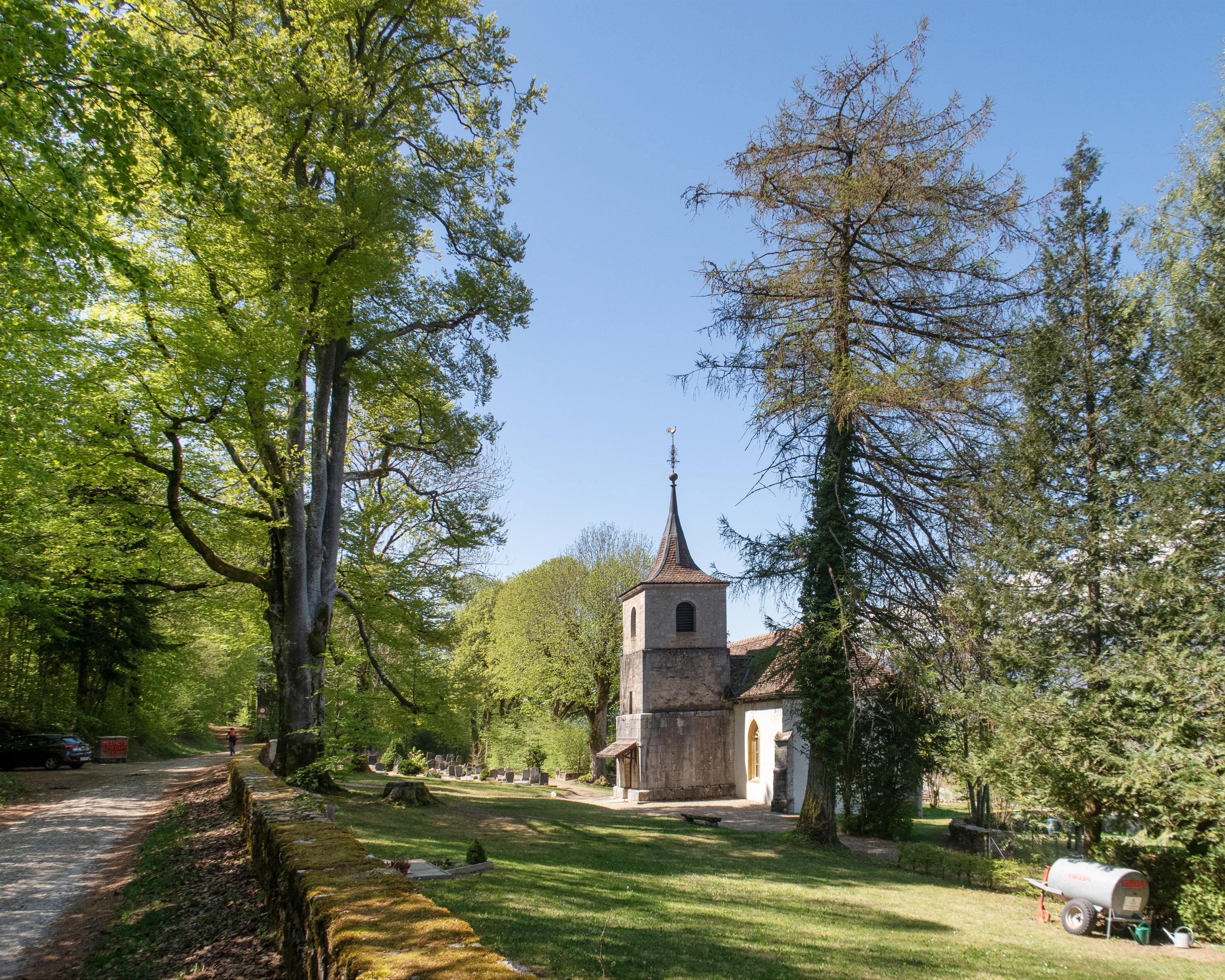
This loop trail is technically easy and often follows the edge of the forest. The broad Val-de-Ruz nestled between the first two crests of the Jura Mountains forms the backdrop of the entire ride. The small town of Valangin with its medieval castle is another high spot.

Booking Information

Height profile

Weather:

Comments about this activity or place?

Thank you for your feedback!