search.ch

Trans Swiss Trail

National route No. 2, Lützelflüh–Langnau i.E.
  • Image 1

Description

National route
No. 2 (Lützelflüh–Langnau i.E.)
Length
14 km
Ascent • Descent
↑ 150 m • ↓ 60 m
Lowest point • Highest point
582 m • 673 m
Hiking time
3 h 20 min
Grade
easy (hiking trail)
Fitness level
medium
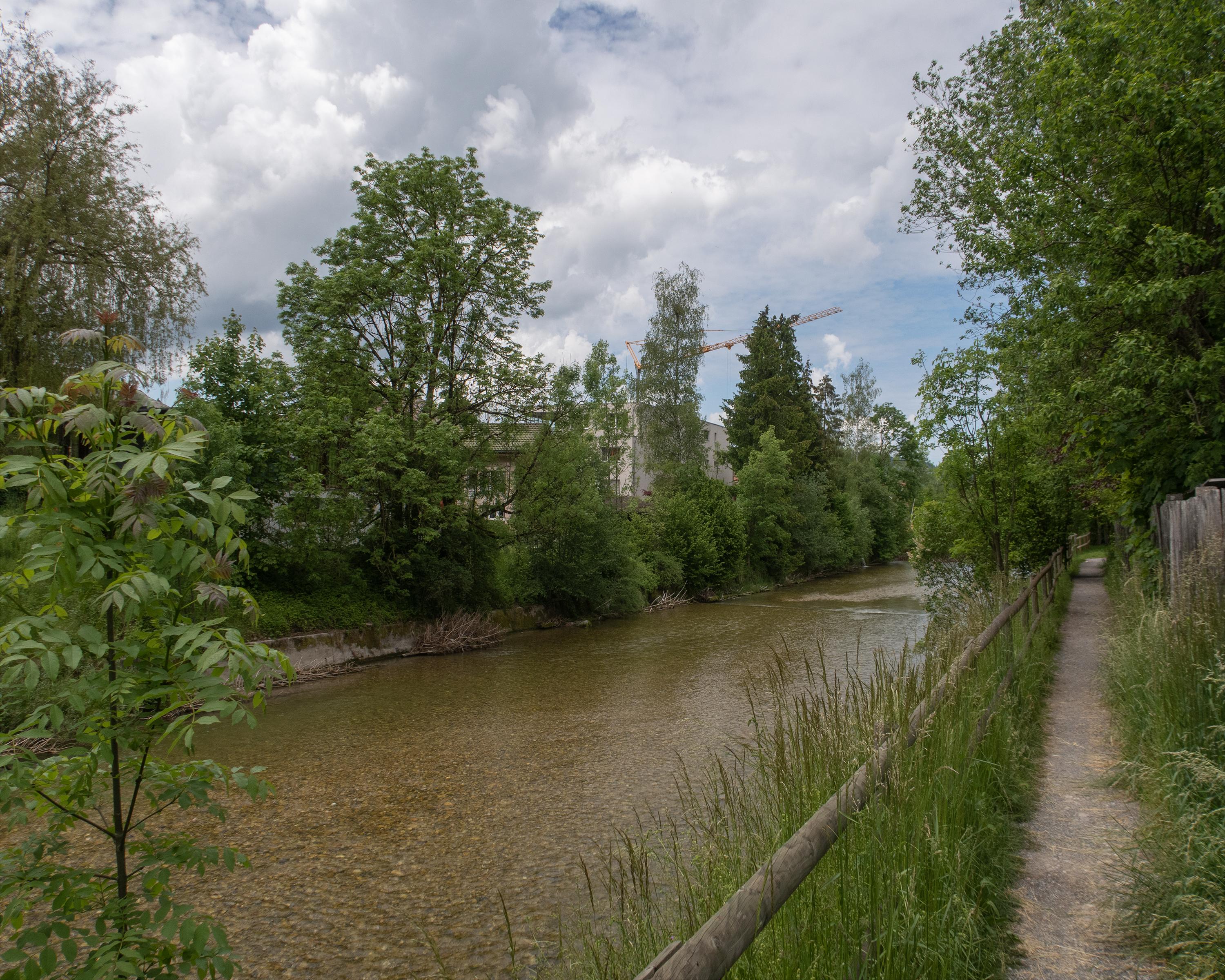
A varied hike along the Emme, past shale banks and small falls, over old wooden bridges and through riverside woodland. The Heimatmuseum (folk museum) in the «Chüechlihus» (16th-century timber building) in Langnau, Emmental’s main town, is worth a visit.

Height profile

Weather:

Comments about this activity or place?

Thank you for your feedback!