search.ch

ViaGottardo

National route No. 7, Biasca–Bellinzona
  • Image 1

Description

National route
No. 7 (Biasca–Bellinzona)
Length
25 km
Ascent • Descent
↑ 110 m • ↓ 160 m
Lowest point • Highest point
226 m • 293 m
Hiking time
6 h
Grade
easy (hiking trail)
Fitness level
difficult
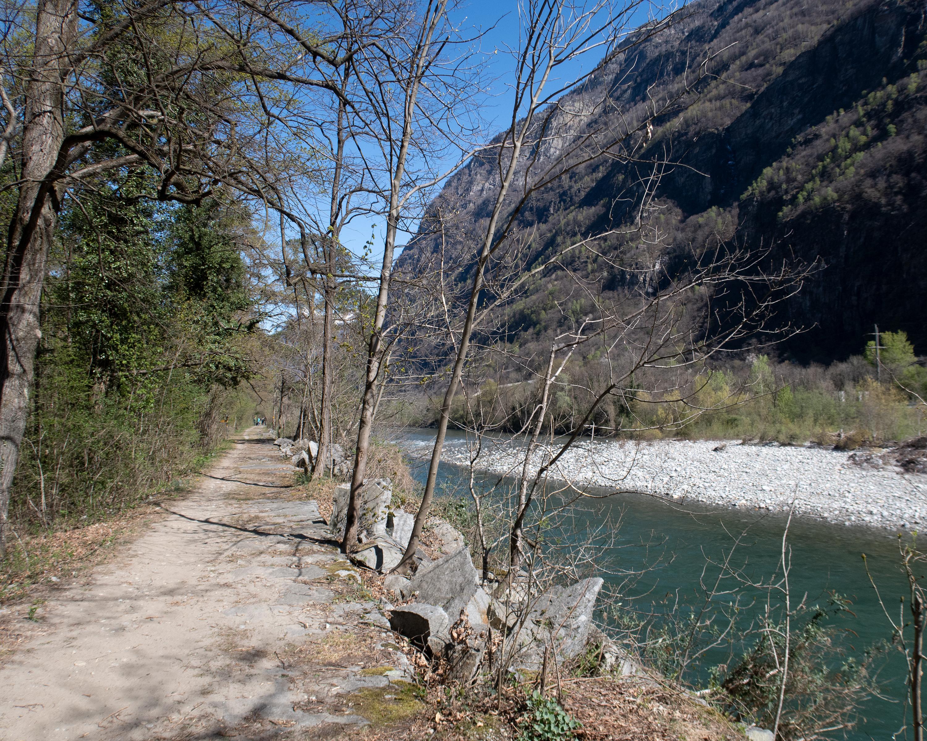
From Biasca, the route leads through the Rivieratal valley, sometimes on one side, sometimes on the other side of the Ticino River. A peaceful hike through alluvial forest and along the riverbank, ending in the middle of the fortifications of Bellinzona.

Height profile

Weather:

Comments about this activity or place?

Thank you for your feedback!