search.ch

Klettgau-Rhein-Weg

Regional route No. 34, Hallau–Siblinger Randenhaus
  • Image 1

Description

Regional route
No. 34 (Hallau–Siblinger Randenhaus)
Length
19 km
Ascent • Descent
↑ 900 m • ↓ 500 m
Lowest point • Highest point
426 m • 889 m
Hiking time
5 h 40 min
Grade
easy (hiking trail)
Fitness level
difficult
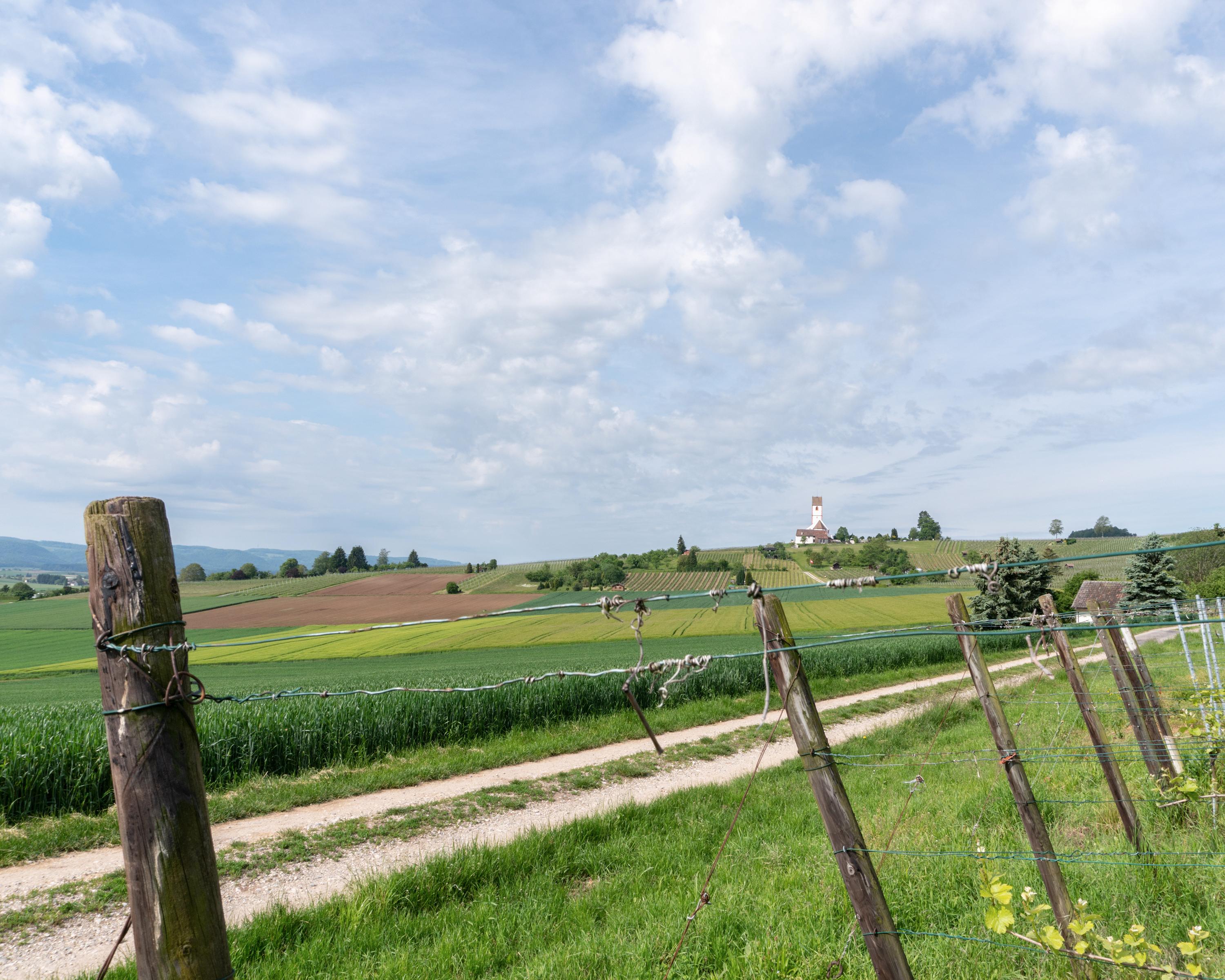
In the Blauburgunderland at Hallau, the high-level trail leads over the three-armed Randen hill chain, through extensive forests, along the Swiss-German border. Wonderful views from the Randen tower Schleitheim into the neighbouring country and from Siblinger Randenhaus to the Alps.

Height profile

Weather:

Comments about this activity or place?

Thank you for your feedback!