search.ch

Obstgarten-Route

Regional route No. 75, Herisau–Nesslau
  • Image 1

Description

Regional route
No. 75 (Herisau–Nesslau)
Length
30 km
Ascent • Descent
↑ 780 m • ↓ 760 m
Lowest point • Highest point
725 m • 1111 m
Fitness level
medium
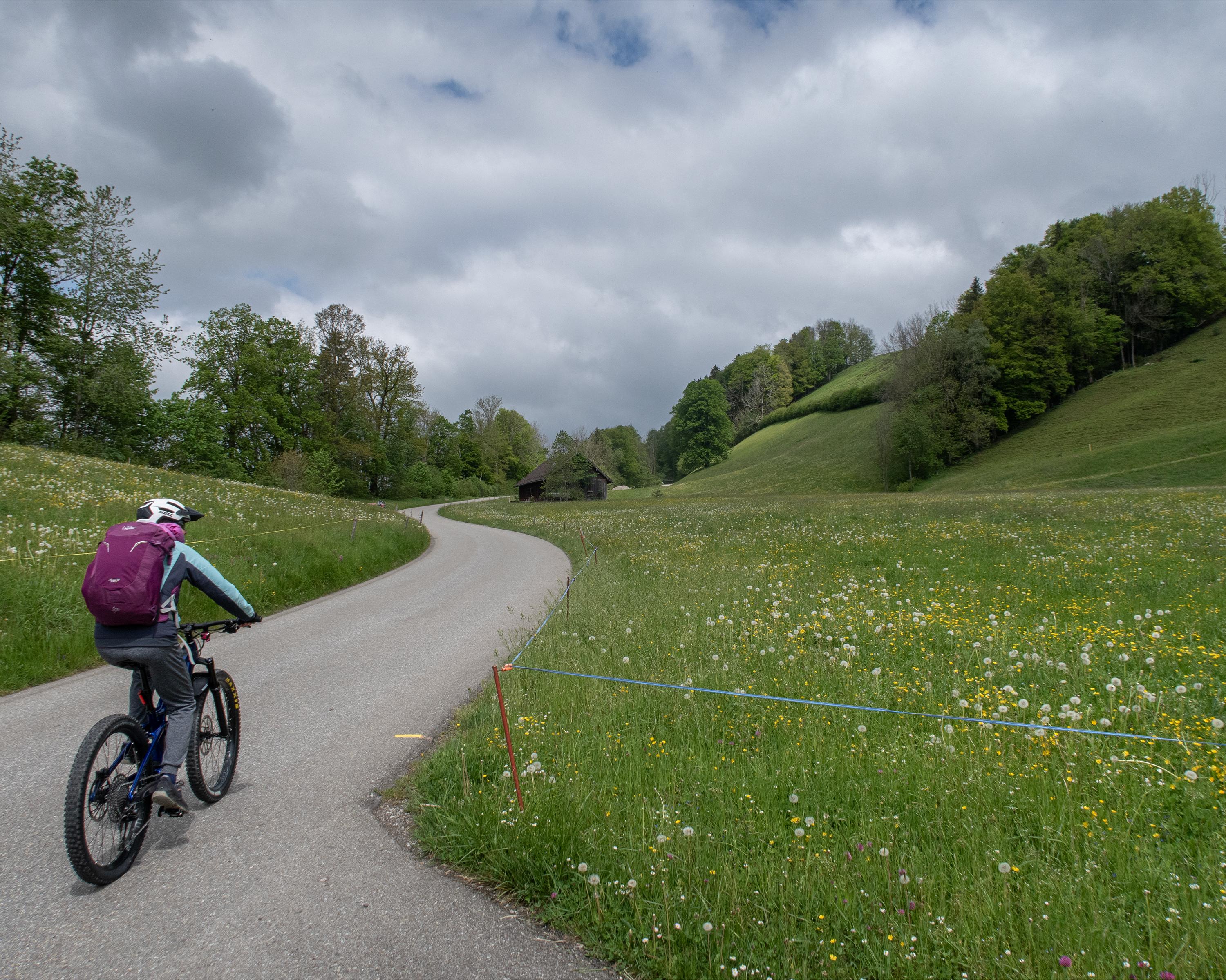
Shingle-clad farm buildings scattered in a green, strongly contoured pre-Alpine landscape, a tough pedal over crests and through deep gullies, up on Chellenmoor a dragonfly buzzes over high moorland, the Churfirsten in Toggenburg greet from a distance.

Height profile

Weather:

Comments about this activity or place?

Thank you for your feedback!