search.ch

Nationalpark-Panoramaweg

Regional route No. 45, Il Fuorn–Chamanna Cluozza
  • Image 1

Description

Regional route
No. 45 (Il Fuorn–Chamanna Cluozza)
Length
14 km
Ascent • Descent
↑ 1300 m • ↓ 1200 m
Lowest point • Highest point
1648 m • 2547 m
Hiking time
6 h
Grade
medium (mountain hiking trail)
Fitness level
difficult
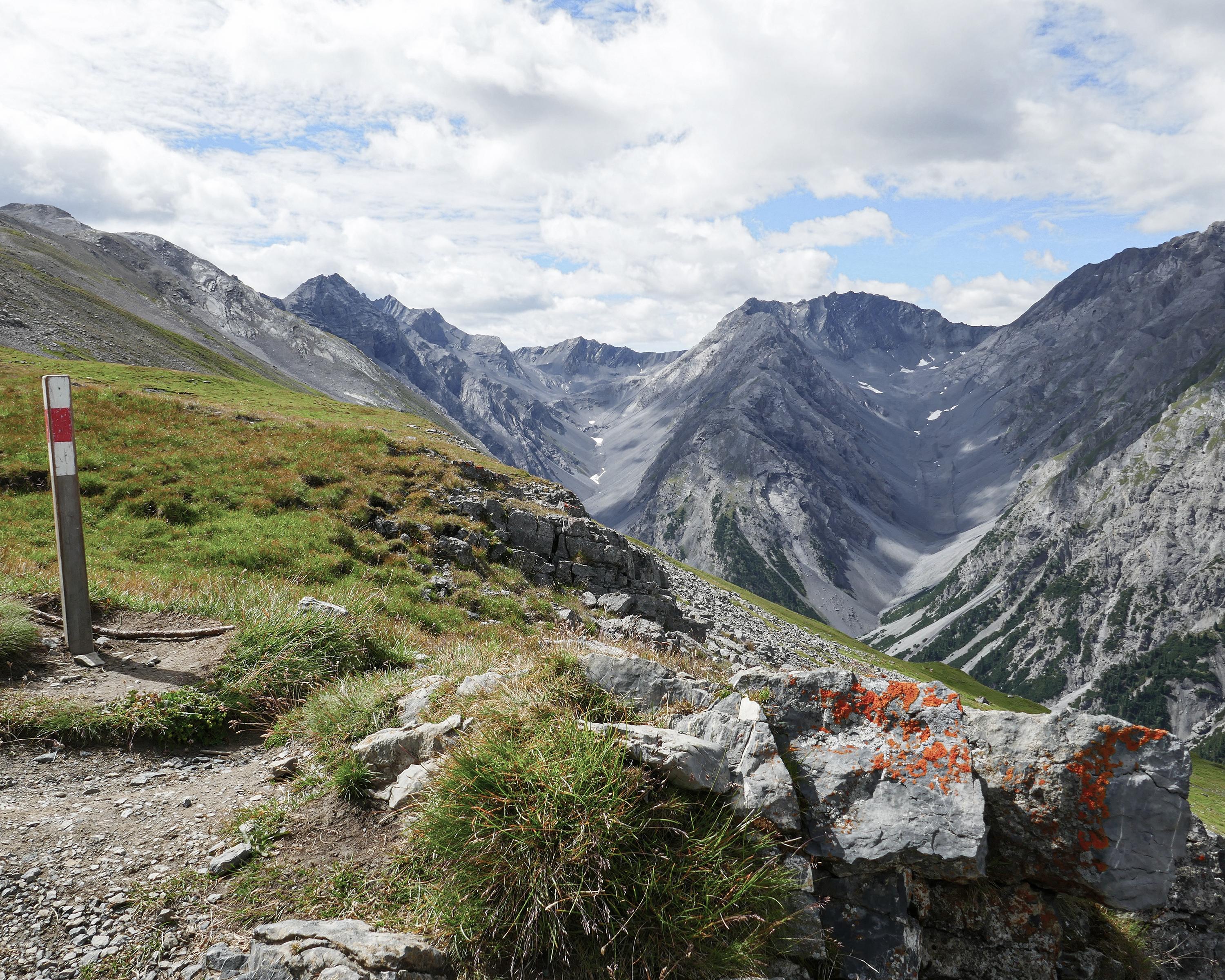
In the heart of the National Park the trail across Muottas Champlönch climbs down to the deep Spölschlucht gorge and back up to Fuorcla Murter. The views range far across untouched nature with valleys full of rocks and boulders, steep mountain slopes and rocky peaks. Forests of stone pine, extensive Alpine meadows and marmots make this route particularly attractive.

Height profile

Weather:

Comments about this activity or place?

Thank you for your feedback!