search.ch

Gemsweg Saas-Fee

Local route No. 183, Stage 3: Saas-Fee, Hannig – Saas-Fee
  • Image 1

Description

Local route
No. 183
Length
8 km
Ascent • Descent
↑ 180 m • ↓ 720 m
Lowest point • Highest point
1775 m • 2339 m
Hiking time
2 h 20 min
Grade
medium
Fitness level
medium
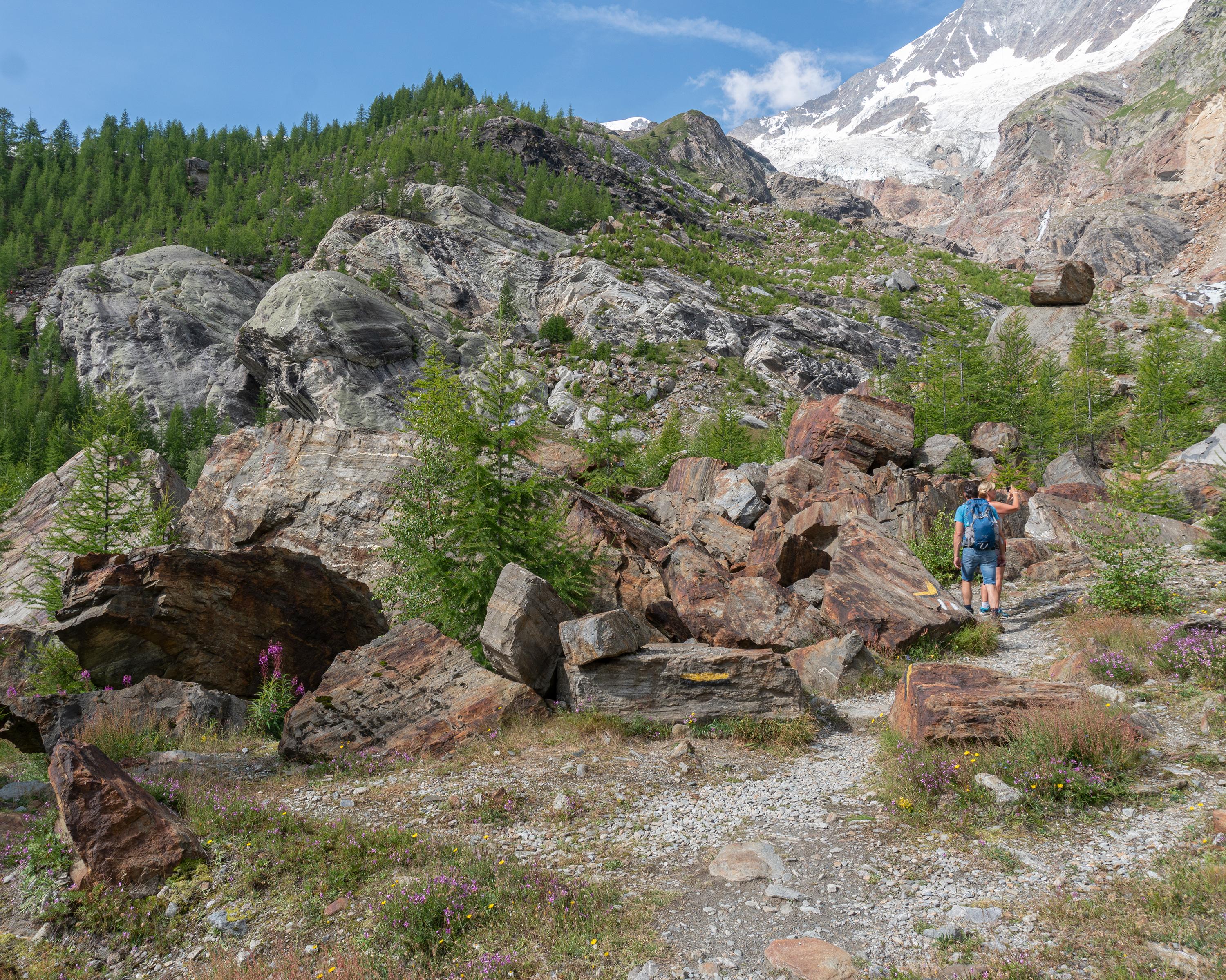
Hiking across the mountainsides of the Mischabel range and along the spectacular glacier landscape with panoramic views. Continuing from the shore of glacial lake to the Gletschergrotte restaurant and following the historic Bodmerwasser channel back to Saas-Fee.

Booking Information

Height profile

Weather:

Comments about this activity or place?

Thank you for your feedback!