search.ch

Alpine Panorama Trail

National route No. 3, Einsiedeln–Unterägeri
  • Image 1

Description

National route
No. 3 (Einsiedeln–Unterägeri)
Length
19 km
Ascent • Descent
↑ 720 m • ↓ 860 m
Lowest point • Highest point
727 m • 1209 m
Hiking time
5 h 25 min
Grade
easy (hiking trail)
Fitness level
difficult
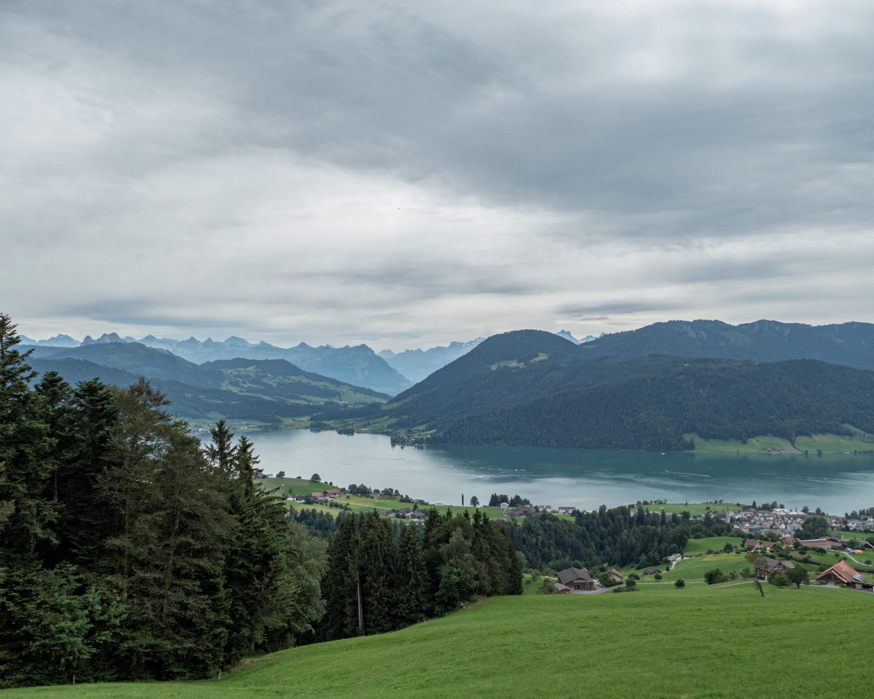
This varied pre-alpine tour leads from the famous monastery village of Einsiedeln along an old pilgrims' path over the Chatzenstrick to the almost equally famous high moor of Rothenthurm, continuing across the Raten to the lovely Aegeri lake in the canton of Zug.

Height profile

Weather:

Comments about this activity or place?

Thank you for your feedback!