search.ch

Lehmen–Kronberg Trail

Local route No. 670, Stage 0: Weissbad, Lehmen – Kronberg
  • Image 1

Description

Local route
No. 670
Length
6 km
Ascent • Descent
↑ 740 m • ↓ 70 m
Lowest point • Highest point
920 m • 1658 m
Hiking time
3 h 50 min
Fitness level
difficult
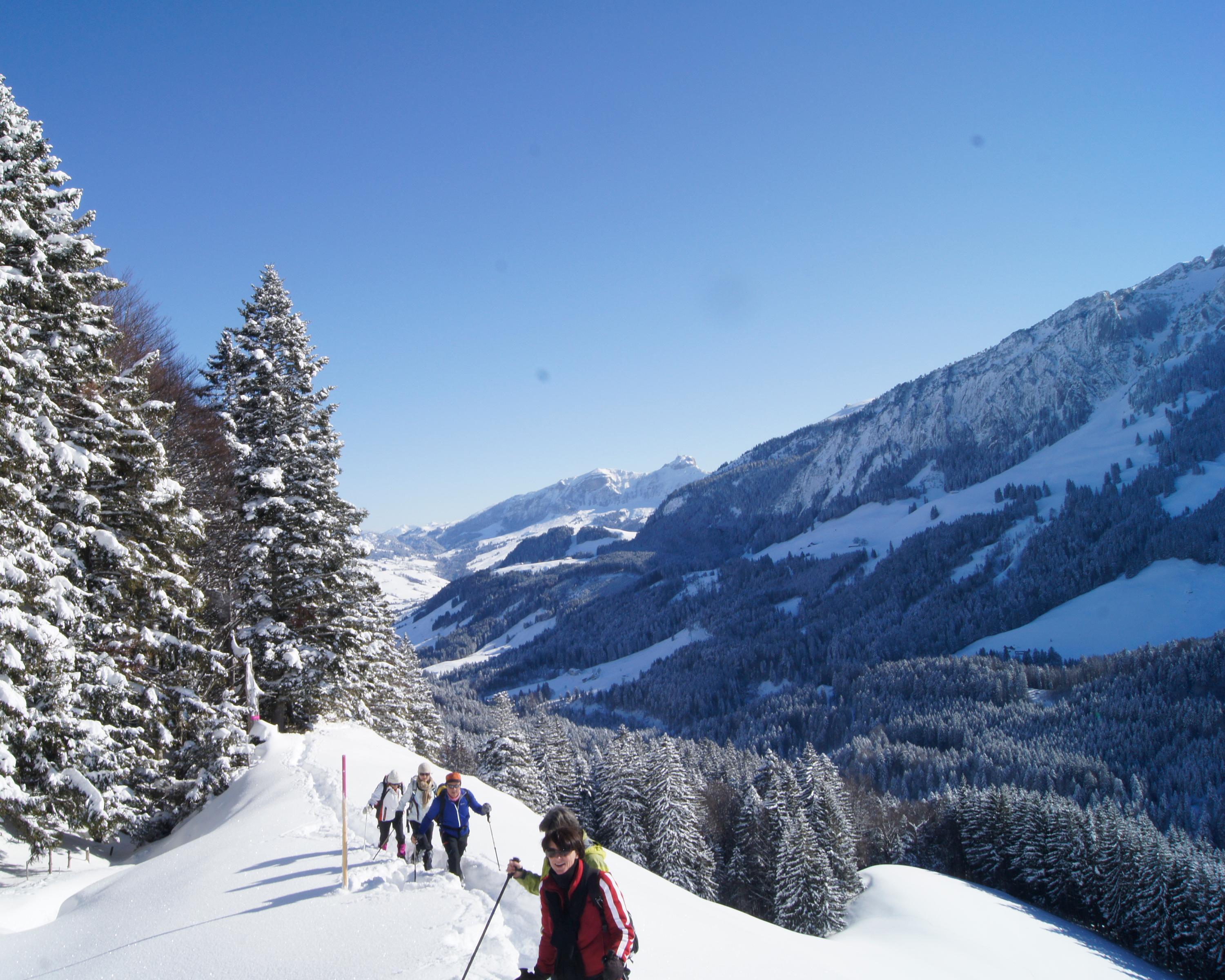
From the bottom to the top, a direct route to Kronberg: Snowshoe enthusiasts with a very good level of fitness will find the challenge they are looking for here. This sunny route promises quietness and solitude. Arrived on Kronberg, a beautiful panorama opens up right into the lowlands and Lake Constance.

Booking Information

Height profile

Weather:

Appenzellerland Tourismus AI

Comments about this activity or place?

Thank you for your feedback!