DE
FR
IT
EN
Directory
Weather
Map / Route
Timetable
Leisure
TV guide
Cinema
Web search
Apps
More
Personal Data »
Login:
Register
Password forgotten
or
Log in with local.ch
Log in with Apple
Log in with Facebook
Log in with Google
Log in with LinkedIn
Please note that our new
privacy statement
as well as the revised
terms and conditions of use
apply.
Leisure
Attività in Bernese Oberland
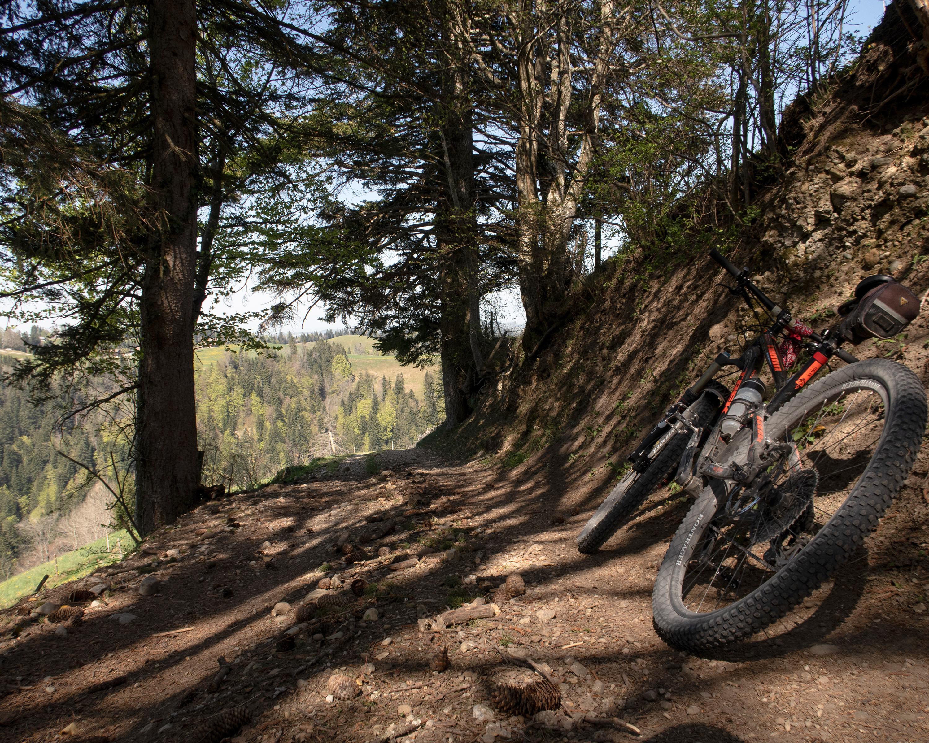
Napf Bike
Regional route No. 77, Langnau–Napf (Stächelegg)
Description
Regional route
No. 77 (Langnau–Napf (Stächelegg))
Length
39 km
Ascent • Descent
↑ 1650 m • ↓ 1000 m
Lowest point • Highest point
679 m • 1333 m
Grade
medium
Fitness level
difficult (opposite direction: medium)
Biking on the scenic crests of the Emmental hills and through deep ravines to Stächelegg on the Napf. An overnight stop at the summit inn is recommended, particularly impressive panorama at sunset and sunrise.
Comments on this information?
We welcome your feedback!
Presented by
Route
Height profile
Weather:
More...
Comments about this activity or place?
Incorrect information
Missing information
Another topic
Thank you for your feedback!
Close