DE
FR
IT
EN
Directory
Weather
Map / Route
Timetable
Leisure
TV guide
Cinema
Web search
Apps
More
Personal Data »
Login:
Register
Password forgotten
or
Log in with local.ch
Log in with Apple
Log in with Facebook
Log in with Google
Log in with LinkedIn
Please note that our new
privacy statement
as well as the revised
terms and conditions of use
apply.
Leisure
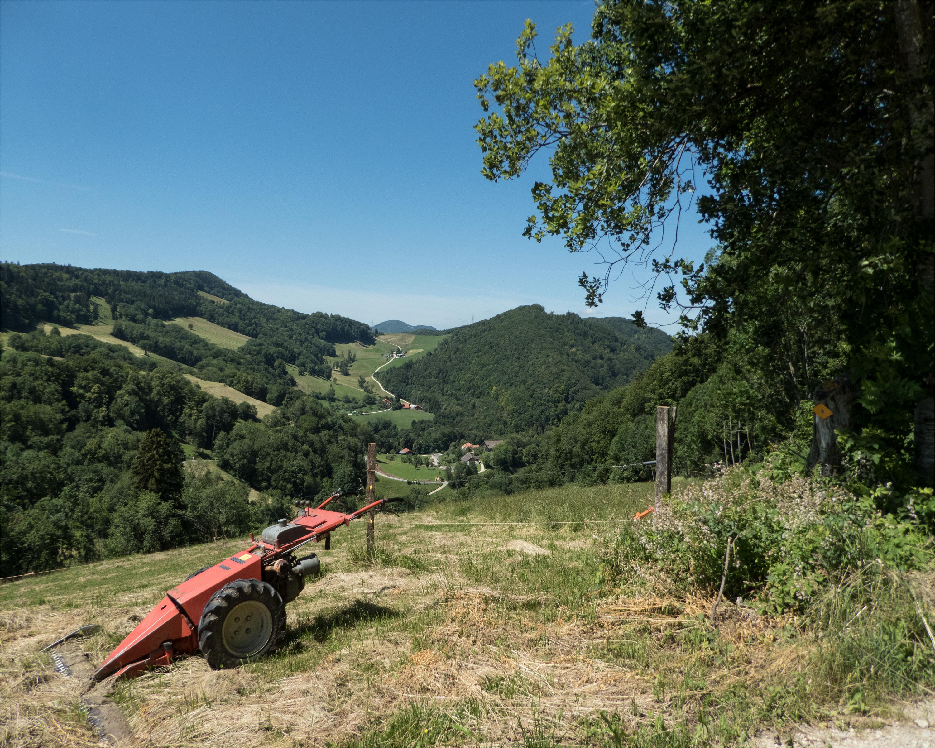
Hike
Aargauer Weg
Regional route No. 42, Wittnau–Aarau
Description
Regional route
No. 42 (Wittnau–Aarau)
Length
19 km
Ascent • Descent
↑ 880 m • ↓ 900 m
Lowest point • Highest point
363 m • 866 m
Hiking time
5 h 50 min
Grade
easy (hiking trail)
Fitness level
difficult
The trail leads up and down over the foothills of the Aargau Jura Park to Aarau, the town of beautiful gables. On the way there: woodlands, fields and several lookout points with views across the Swiss Plateau, the Alps and into Germany.
Comments on this information?
We welcome your feedback!
Presented by
Route
Height profile
Weather:
More...
Comments about this activity or place?
Incorrect information
Missing information
Another topic
Thank you for your feedback!
Close