DE
FR
IT
EN
Directory
Weather
Map / Route
Timetable
Leisure
TV guide
Cinema
Web search
Apps
More
Personal Data »
Login:
Register
Password forgotten
or
Log in with local.ch
Log in with Apple
Log in with Facebook
Log in with Google
Log in with LinkedIn
Please note that our new
privacy statement
as well as the revised
terms and conditions of use
apply.
Leisure
Activities
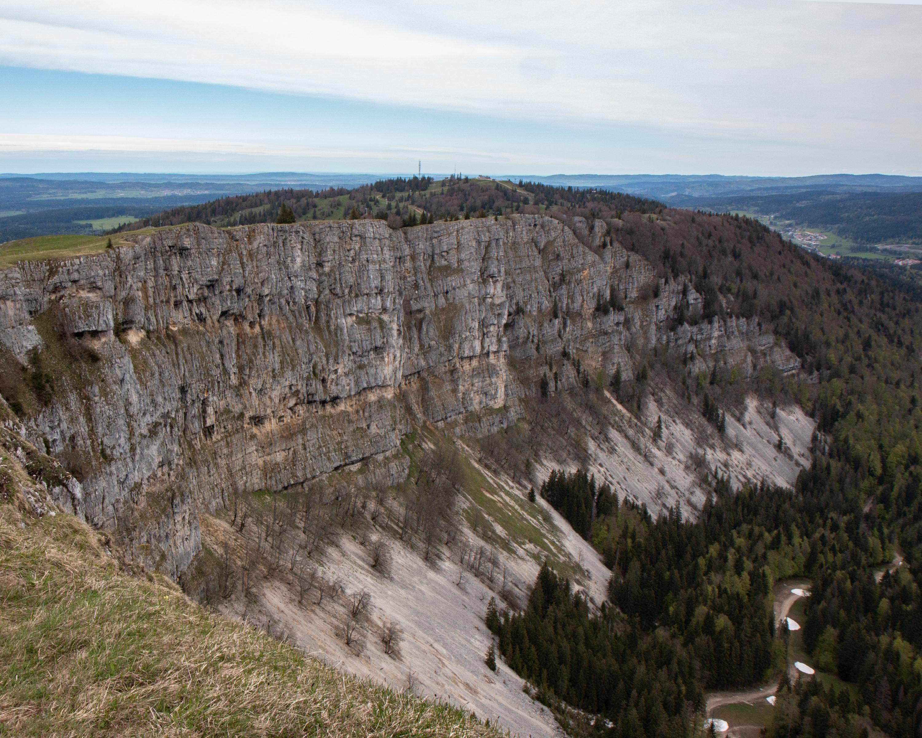
Sentier du Mont d'Or
Local route No. 123, Vallorbe–Vallorbe
Description
Local route
No. 123 (Vallorbe–Vallorbe)
Length
13 km
Ascent • Descent
↑ 860 m • ↓ 860 m
Lowest point • Highest point
793 m • 1436 m
Hiking time
4 h 40 min
Grade
easy (hiking trail)
Fitness level
medium
The hike from Vallorbe to Mont d'Or offers an exceptional panorama: Chasseron, Suchet, Lake Neuchâtel, Joux Valley and Lake St Point.
Booking Information
E-mail:
vallorbe@adnv.ch
Comments on this information?
We welcome your feedback!
Presented by
Route
Height profile
Weather:
More...
Office du Tourisme de Vallorbe
Les Grandes Forges 11, 1337 Vallorbe
Office du Tourisme de Vallorbe
Les Grandes Forges 11, 1337 Vallorbe
021 843 25 83
Comments about this activity or place?
Incorrect information
Missing information
Another topic
Thank you for your feedback!
Close