DE
FR
IT
EN
Directory
Weather
Map / Route
Timetable
Leisure
TV guide
Cinema
Web search
Apps
More
Personal Data »
Login:
Register
Password forgotten
or
Log in with local.ch
Log in with Apple
Log in with Facebook
Log in with Google
Log in with LinkedIn
Please note that our new
privacy statement
as well as the revised
terms and conditions of use
apply.
Leisure
Activités in Lac des Quatre-Cantons
ViaUrschweiz
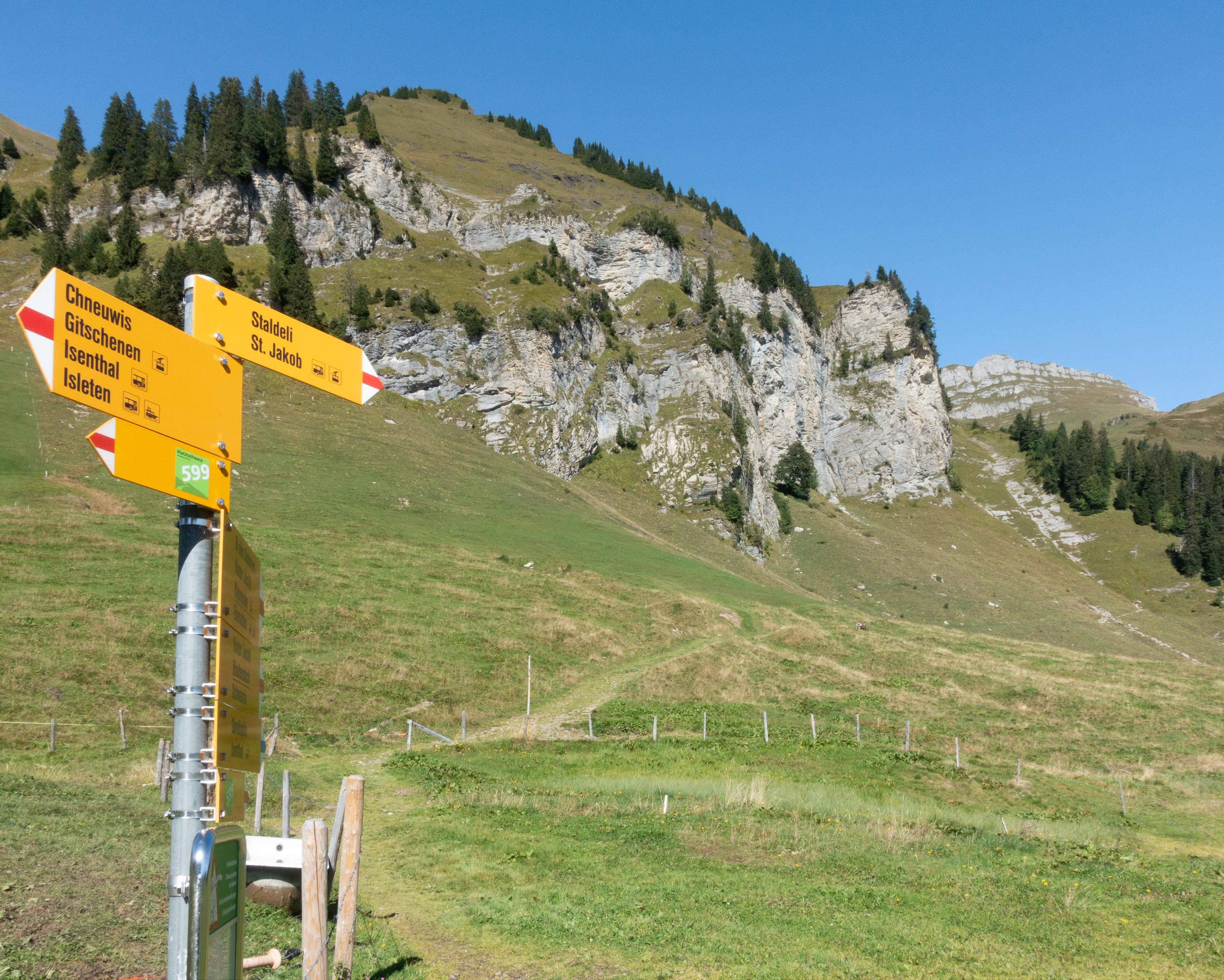
Local route No. 599, Gitschenen–Klewenalp
Description
Local route
No. 599 (Gitschenen–Klewenalp)
Length
8 km
Ascent • Descent
↑ 660 m • ↓ 620 m
Lowest point • Highest point
1523 m • 2106 m
Hiking time
3 h 10 min
Grade
medium (mountain hiking trail)
Fitness level
medium
The Alpine mountain trail from Gitschenen to Klewenalp provides a striking experience of nature with its flowers, wild animals and unique pond landscape. At the highest point, the Hinterjochli, the view extends far into the Swiss Mittelland.
Booking Information
E-mail:
info@regionklewenalp.ch
Comments on this information?
We welcome your feedback!
Presented by
Route
Height profile
Weather:
More...
Verein Tourismus Klewenalp
Bahnhofplatz 1, 6377 Seelisberg
Verein Tourismus Klewenalp
Bahnhofplatz 1, 6377 Seelisberg
041 820 15 63
Comments about this activity or place?
Incorrect information
Missing information
Another topic
Thank you for your feedback!
Close