search.ch

Pragelpass-Weg

Regional route No. 29, Muotathal–Hinter Klöntal
  • Image 1

Description

Regional route
No. 29 (Muotathal–Hinter Klöntal)
Length
20 km
Ascent • Descent
↑ 1100 m • ↓ 880 m
Lowest point • Highest point
611 m • 1550 m
Hiking time
6 h 20 min
Grade
medium (mountain hiking trail)
Fitness level
difficult
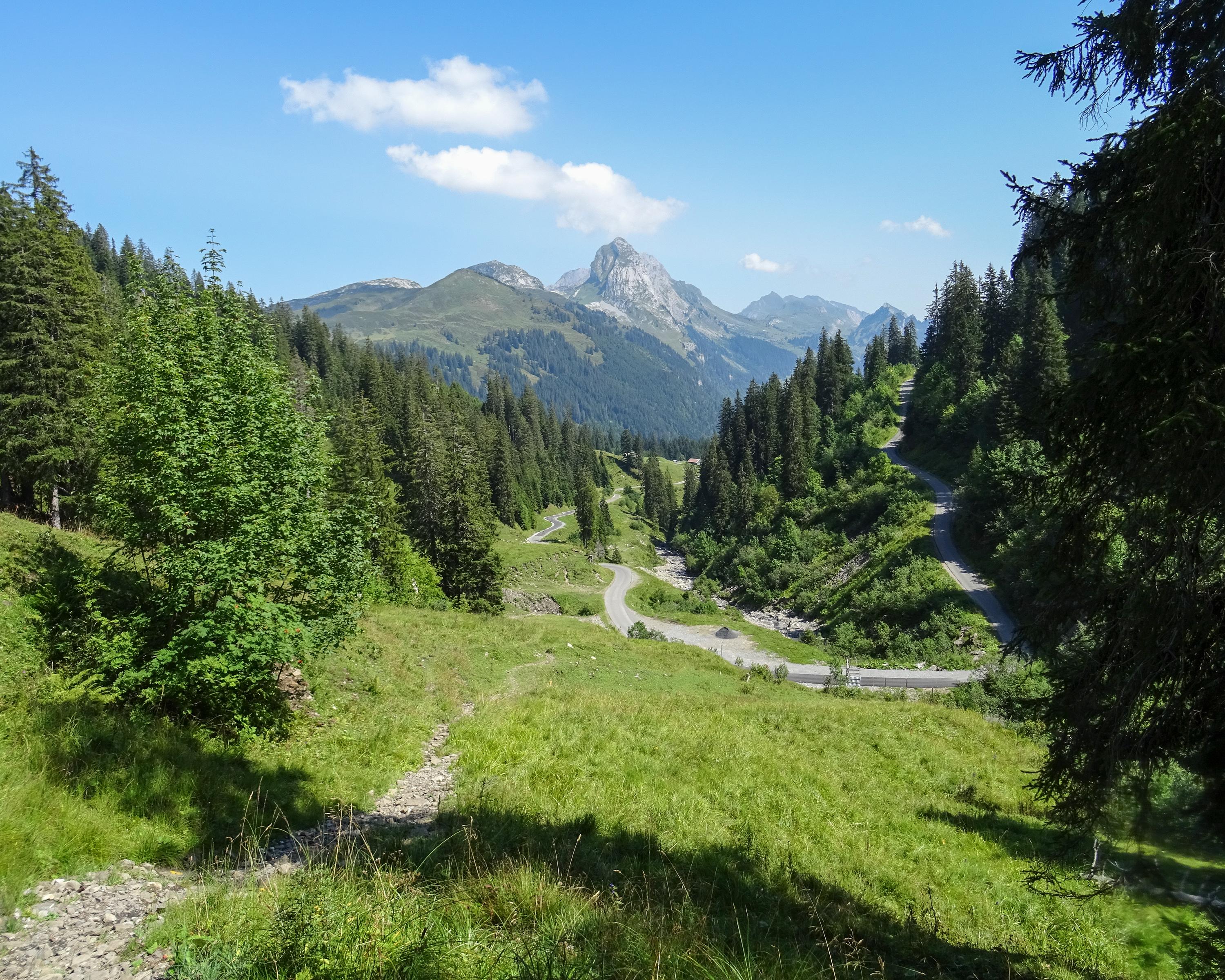
A delightful hike over passes with attractive houses and stables lining the way as well as meadows and wetlands. Views to Bödmeren-Urwald (forest) above Muotatal, with the Höllloch cave system spreading out below ground. Of cultural interest: the Gasthaus Richisau (tavern).

Height profile

Weather:

Comments about this activity or place?

Thank you for your feedback!