DE
FR
IT
EN
Directory
Weather
Map / Route
Timetable
Leisure
TV guide
Cinema
Web search
Apps
More
Personal Data »
Login:
Register
Password forgotten
or
Log in with local.ch
Log in with Apple
Log in with Facebook
Log in with Google
Log in with LinkedIn
Please note that our new
privacy statement
as well as the revised
terms and conditions of use
apply.
Leisure
Activities
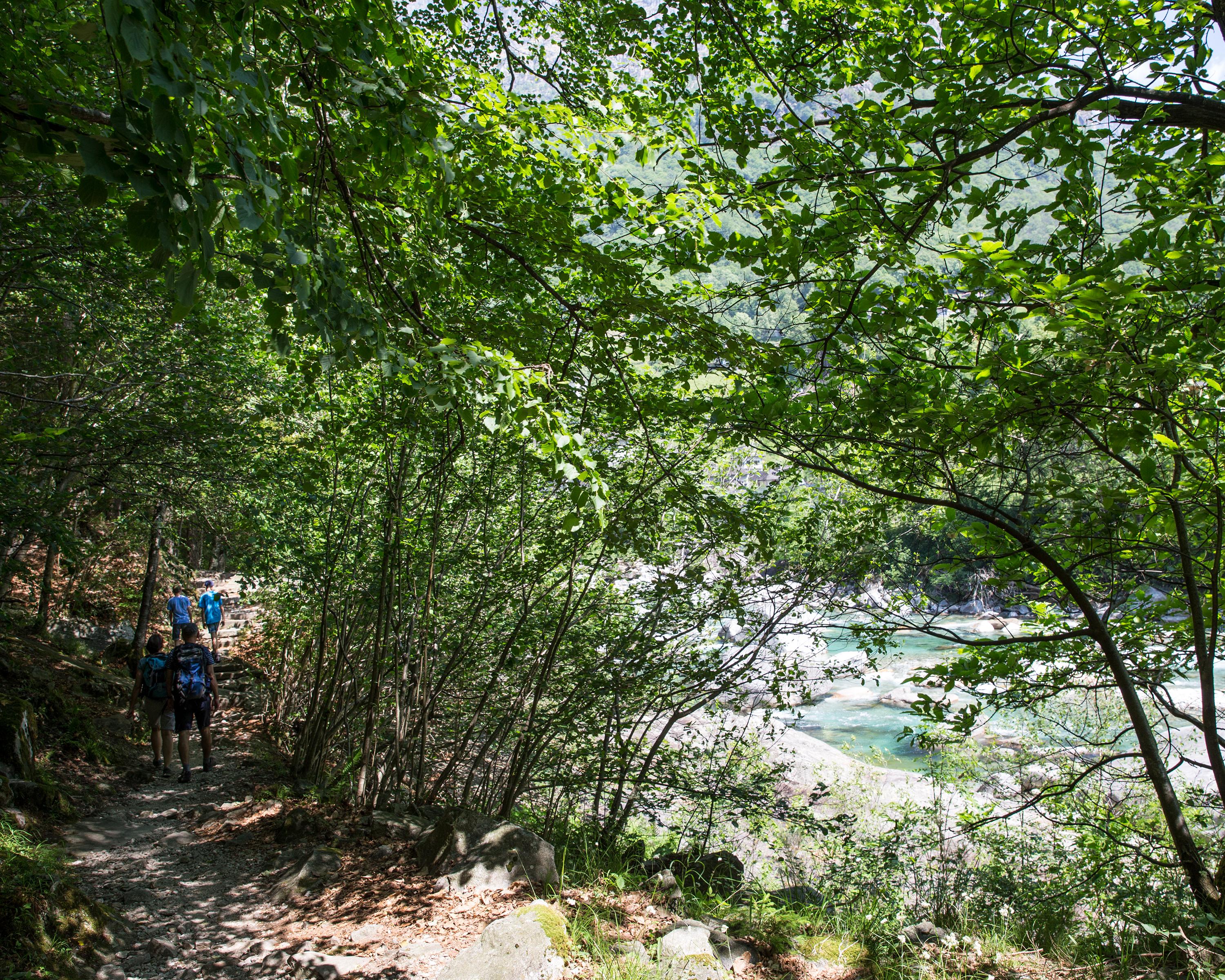
Sentiero Verzasca
Regional route No. 74, Lavertezzo–Locarno
Description
Regional route
No. 74 (Lavertezzo–Locarno)
Length
21 km
Ascent • Descent
↑ 1150 m • ↓ 1500 m
Lowest point • Highest point
196 m • 1116 m
Hiking time
7 h 10 min
Grade
easy (hiking trail)
Fitness level
difficult
On this long stage, the change from Ticino's riparian landscape to the mountain scenery with arrival in the town of Locarno is impressive, as is the stretch between the historic village of Corippo and Mergoscia.
Comments on this information?
We welcome your feedback!
Presented by
Route
Height profile
Weather:
More...
Comments about this activity or place?
Incorrect information
Missing information
Another topic
Thank you for your feedback!
Close