search.ch

Höhenrundweg Gryden

Local route No. 313, Lenk, Betelberg–Lenk, Betelberg
  • Image 1

Description

Local route
No. 313 (Lenk, Betelberg–Lenk, Betelberg)
Length
7 km
Ascent • Descent
↑ 320 m • ↓ 320 m
Lowest point • Highest point
1946 m • 2100 m
Hiking time
2 h 15 min
Grade
medium (mountain hiking trail)
Fitness level
easy
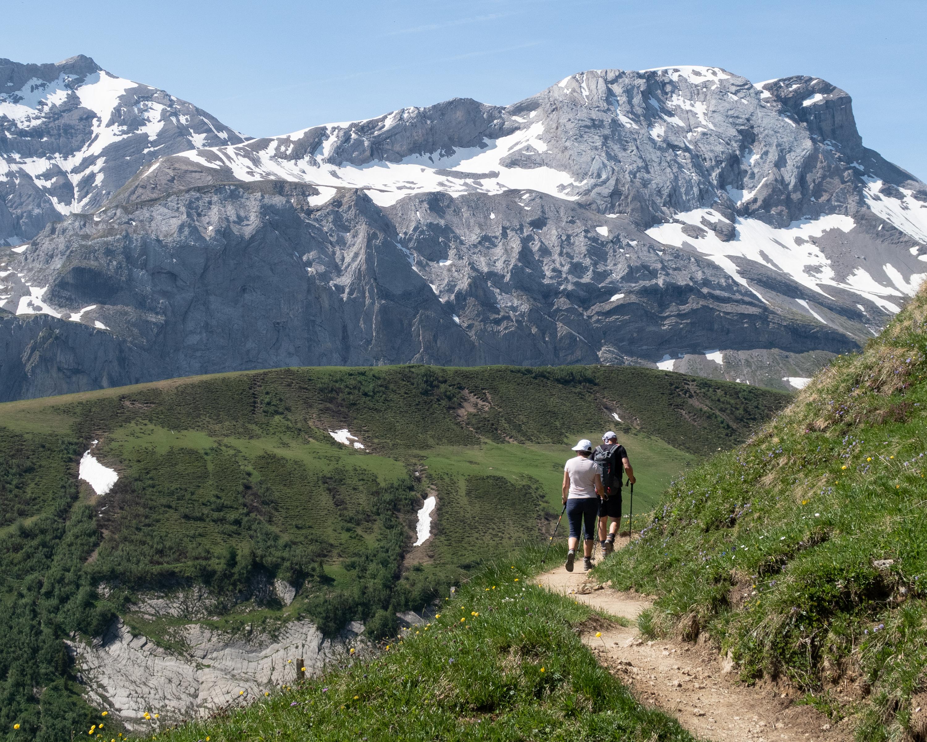
The Betelberg hides a fascinating place with an extraordinary scenery: the Gryden. The crater-like, bizarre rocky landscape can be explored on this high-altitude circular trail. It leads from Lenk's local mountain along the south side of the 'Stübleni' to the refuge and back.

Booking Information

Height profile

Weather:

Lenk-Simmental Tourismus

Comments about this activity or place?

Thank you for your feedback!