DE
FR
IT
EN
Directory
Weather
Map / Route
Timetable
Leisure
TV guide
Cinema
Web search
Apps
More
Personal Data »
Login:
Register
Password forgotten
or
Log in with local.ch
Log in with Apple
Log in with Facebook
Log in with Google
Log in with LinkedIn
Please note that our new
privacy statement
as well as the revised
terms and conditions of use
apply.
Leisure
Hike
Tour des Alpes Vaudoises
Regional route No. 46, Aigle–Leysin
Description
Regional route
No. 46 (Aigle–Leysin)
Length
7 km
Ascent • Descent
↑ 1000 m • ↓ 10 m
Lowest point • Highest point
404 m • 1391 m
Hiking time
3 h 10 min
Grade
medium (mountain hiking trail)
Fitness level
difficult
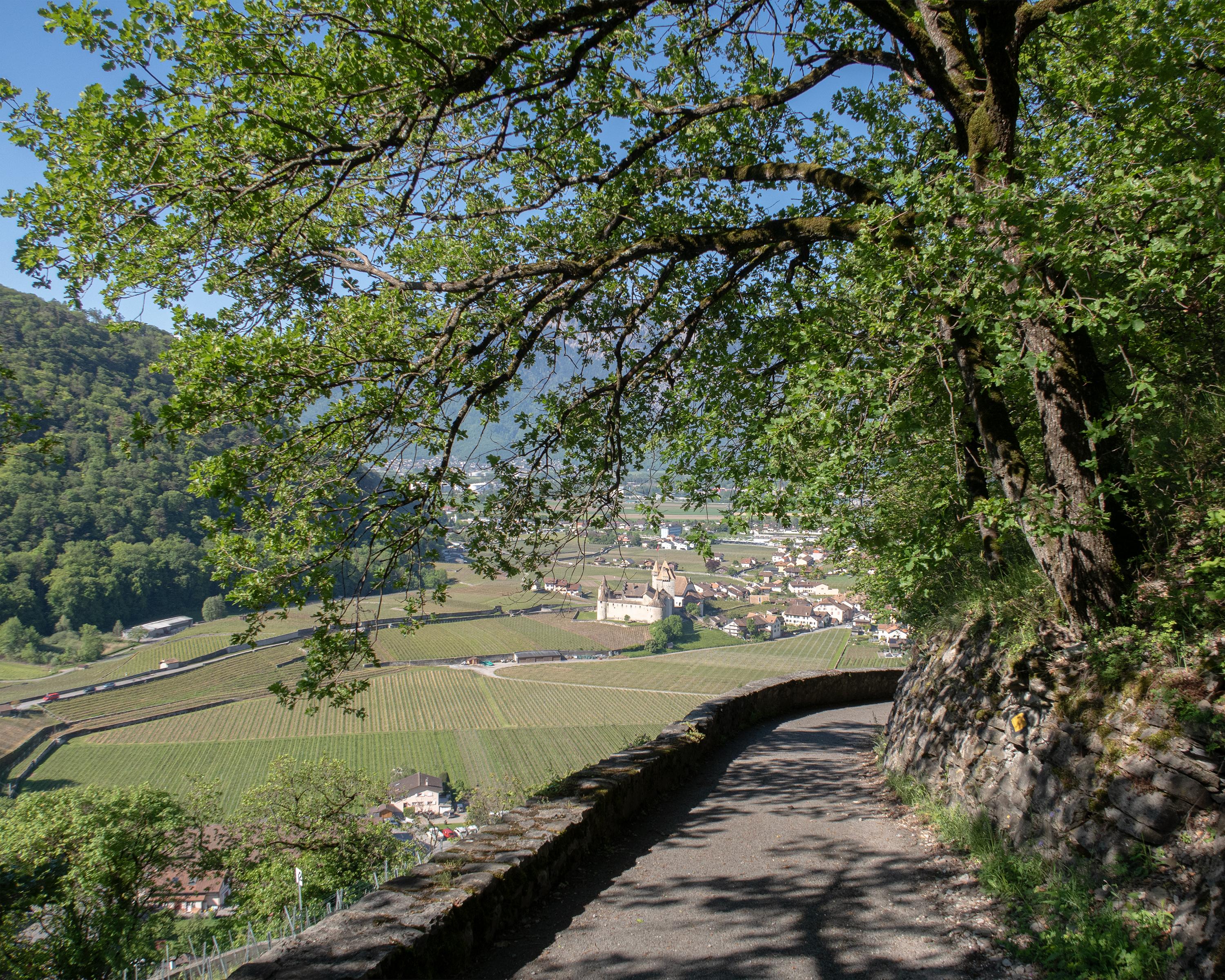
The starting point is Aigle, at the foot of the mountain slope and with a picturesque old town, narrow winding lanes and a 12th century castle. The climb up to Leysin is steep but mostly shady. The views become more sweeping the further you go.
Comments on this information?
We welcome your feedback!
Presented by
Route
Height profile
Weather:
More...
Comments about this activity or place?
Incorrect information
Missing information
Another topic
Thank you for your feedback!
Close