search.ch

Toggenburger Höhenweg

Regional route No. 48, Wildhaus–Wil SG
  • Image 1

Description

Regional route
No. 48 (Wildhaus–Wil SG)
Length
88 km
Ascent • Descent
↑ 4300 m • ↓ 4800 m
Lowest point • Highest point
554 m • 1827 m
Grade
medium (mountain hiking trail)
Fitness level
difficult
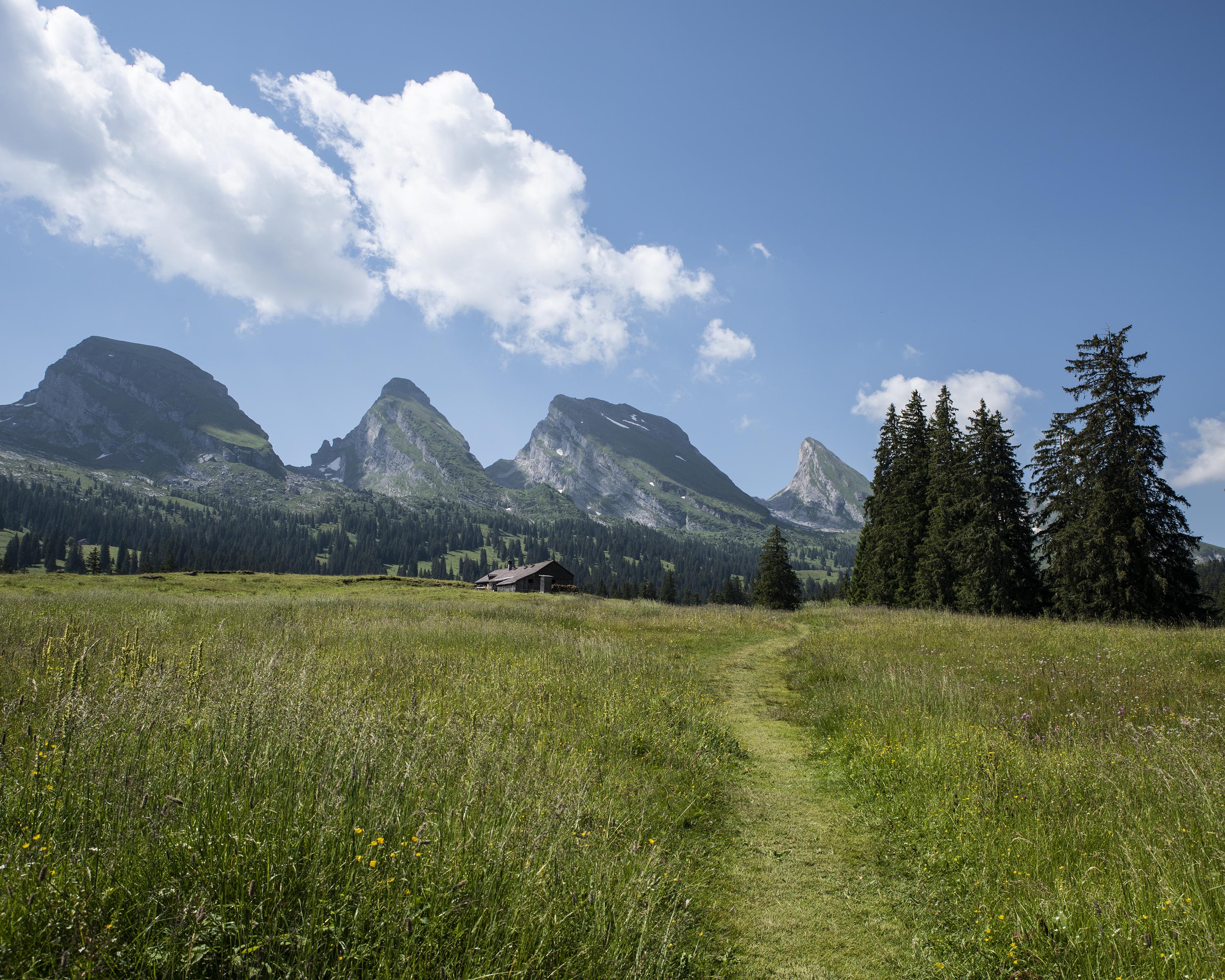
The Toggenburger Höhenweg presents hikers with one of the most beautiful but also one of the most challenging hiking routes in the St. Gallen countryside. Breathtaking and incomparable views constantly draw your gaze down into the lush green Thurtal valley.

Height profile

Weather:

Comments about this activity or place?

Thank you for your feedback!