search.ch

ViaUrschweiz

Local route No. 599, Isleten–Klewenalp
  • Image 1

Description

Local route
No. 599 (Isleten–Klewenalp)
Length
20 km
Ascent • Descent
↑ 1950 m • ↓ 780 m
Lowest point • Highest point
435 m • 2106 m
Grade
medium (mountain hiking trail)
Fitness level
difficult
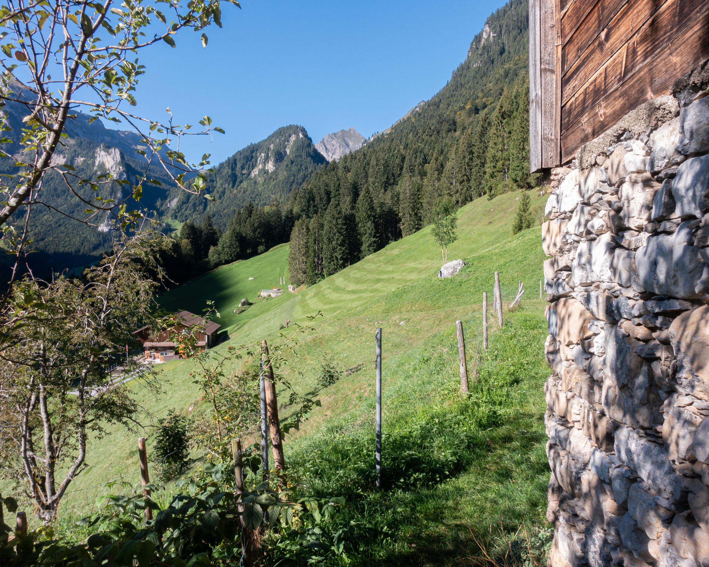
Traditional craftsmanship, the magnificent expanses of wild hay in the Isenthal, and a superb view of the Mittelland - this is what you will see when you are on the hiking trail that links the cantons of Uri and Nidwalden as it passes by histori-cally significant scenery and transport routes.

Booking Information

Height profile

Weather:

Verein Tourismusregion Klewenalp

Comments about this activity or place?

Thank you for your feedback!