DE
FR
IT
EN
Directory
Weather
Map / Route
Timetable
Leisure
TV guide
Cinema
Web search
Apps
More
Personal Data »
Login:
Register
Password forgotten
or
Log in with local.ch
Log in with Apple
Log in with Facebook
Log in with Google
Log in with LinkedIn
Please note that our new
privacy statement
as well as the revised
terms and conditions of use
apply.
Leisure
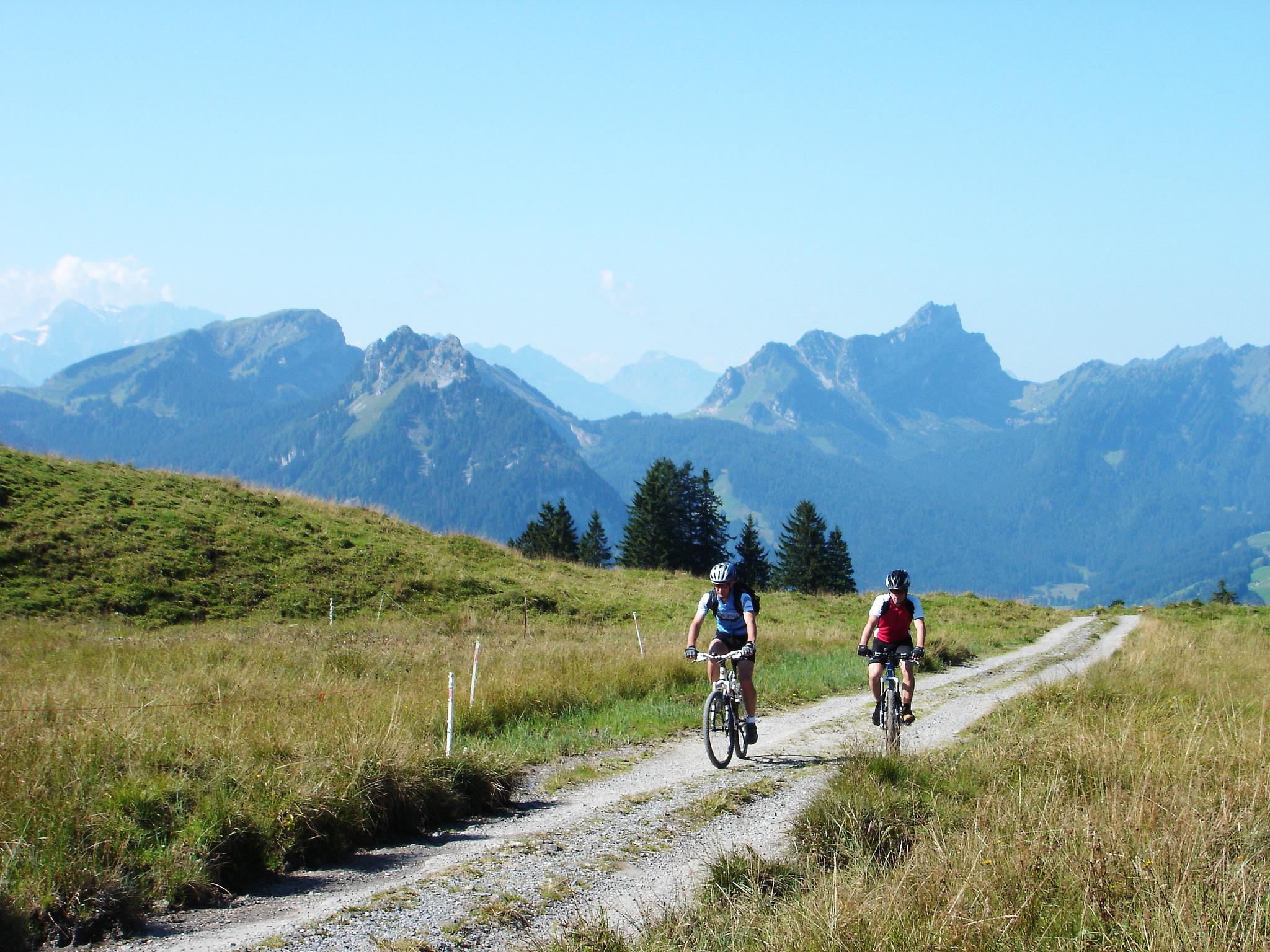
Mountain bike in Appenzellerland
Panorama Bike
National route No. 2, Appenzell–Stein SG
Description
National route
No. 2 (Appenzell–Stein SG)
Length
35 km
Ascent • Descent
↑ 1250 m • ↓ 1200 m
Lowest point • Highest point
780 m • 1458 m
Grade
medium
Fitness level
difficult
The route becomes more Alpine and at the foot of the Säntis leads along alp and gravel paths to the first two «real» passes on the Panorama Bike – Schwägalp Pass and Risipass – and then down into Toggenburg.
Comments on this information?
We welcome your feedback!
Presented by
Route
Height profile
Weather:
More...
Comments about this activity or place?
Incorrect information
Missing information
Another topic
Thank you for your feedback!
Close