search.ch

ViaBerna

Regional route No. 38, Magglingen–Biel/Bienne
  • Image 1

Description

Regional route
No. 38 (Magglingen–Biel/Bienne)
Length
13 km
Ascent • Descent
↑ 100 m • ↓ 540 m
Lowest point • Highest point
429 m • 903 m
Hiking time
3 h 15 min
Grade
easy (hiking trail)
Fitness level
medium
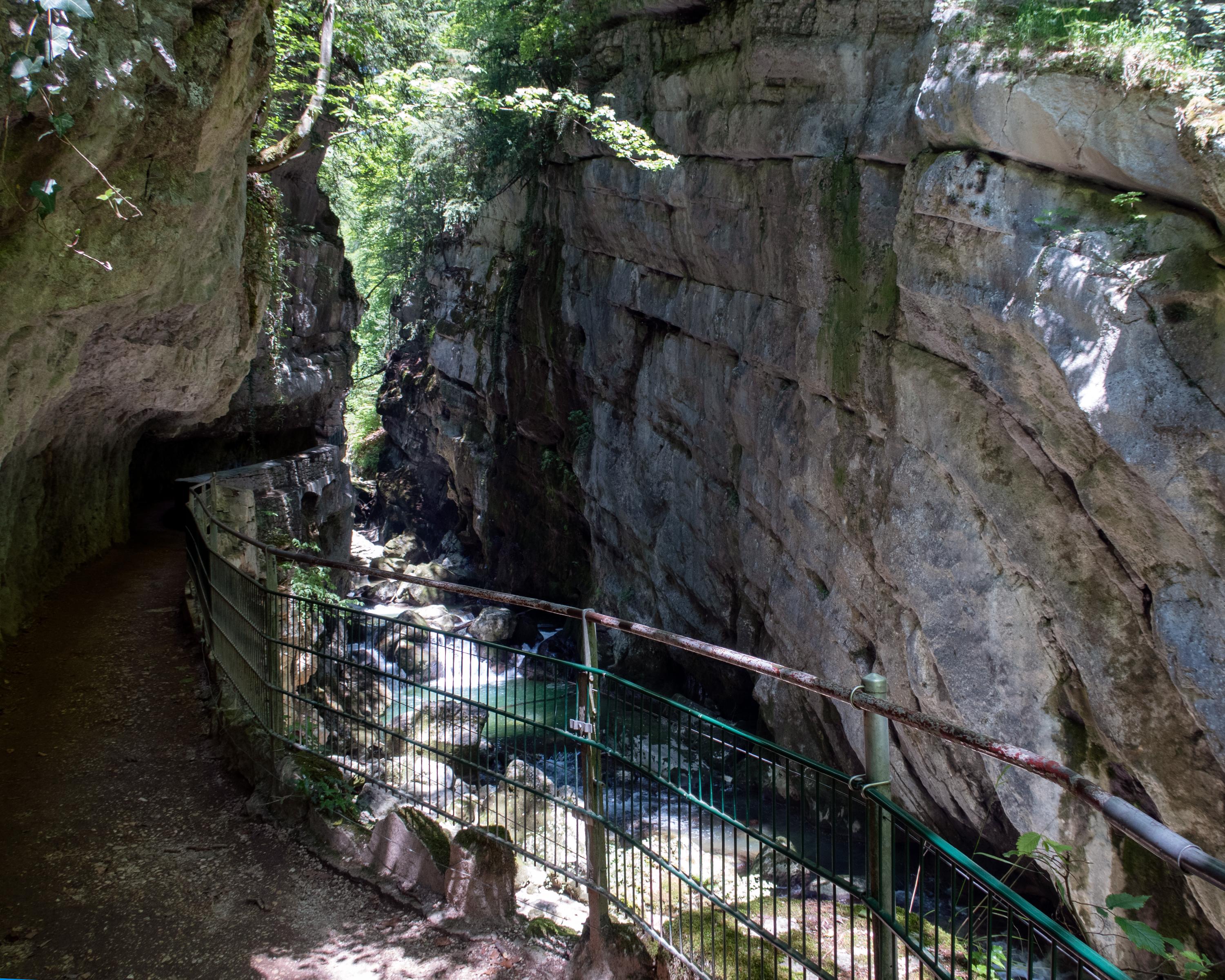
From the Jura heights with its many views between Magglingen and Evilard, the path descends into the wild Taubenloch Gorge. Bridges and tunnels enable you to go right into the residential area of Bözingen. Along the Suze and through Biel, this stage ends at the train station via the shore of the lake.

Height profile

Weather:

Comments about this activity or place?

Thank you for your feedback!