search.ch

ViaRhenana

Regional route No. 60, Rheinau–Eglisau
  • Image 1

Description

Regional route
No. 60 (Rheinau–Eglisau)
Length
20 km
Ascent • Descent
↑ 360 m • ↓ 340 m
Lowest point • Highest point
344 m • 502 m
Hiking time
5 h
Grade
easy (hiking trail)
Fitness level
difficult
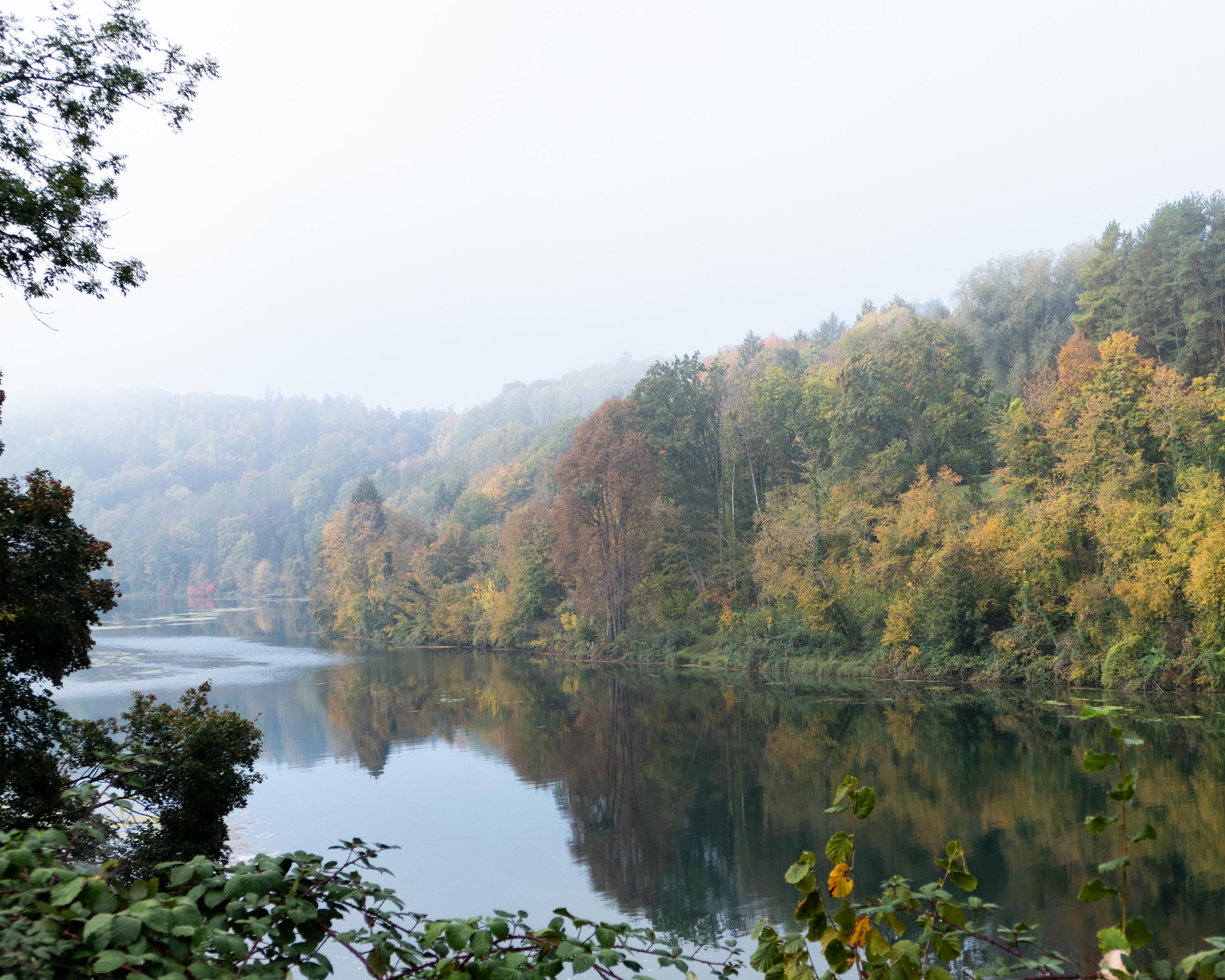
South of Rheinau kilometre-long forest path along slopes above the Rhine to Ellikon. Through woodlands beside the River Thur and cultivated landscape of Flaacherfeld to Flaach. Extensive panorama from Buchberg church. Through sunny vineyards to Eglisau.

Height profile

Weather:

Comments about this activity or place?

Thank you for your feedback!