DE
FR
IT
EN
Directory
Weather
Map / Route
Timetable
Leisure
TV guide
Cinema
Web search
Apps
More
Personal Data »
Login:
Register
Password forgotten
or
Log in with local.ch
Log in with Apple
Log in with Facebook
Log in with Google
Log in with LinkedIn
Please note that our new
privacy statement
as well as the revised
terms and conditions of use
apply.
Leisure
Hike
Toggenburger Höhenweg
Regional route No. 48, Oberchäseren–Tanzboden
Description
Regional route
No. 48 (Oberchäseren–Tanzboden)
Length
8 km
Ascent • Descent
↑ 460 m • ↓ 680 m
Lowest point • Highest point
1368 m • 1773 m
Hiking time
2 h 55 min
Grade
medium (mountain hiking trail)
Fitness level
medium
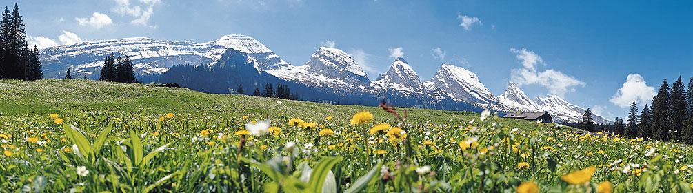
The hiking trail on the stage from Oberchäseren to Tanzboden leads around the Speer. The 1950-metre-high mountain is the highest conglomerate-rock peak in Europe. There are very few height metres to tackle on this stage of the route.
Comments on this information?
We welcome your feedback!
Presented by
Route
Height profile
Weather:
More...
Comments about this activity or place?
Incorrect information
Missing information
Another topic
Thank you for your feedback!
Close