DE
FR
IT
EN
Directory
Weather
Map / Route
Timetable
Leisure
TV guide
Cinema
Web search
Apps
More
Personal Data »
Login:
Register
Password forgotten
or
Log in with local.ch
Log in with Apple
Log in with Facebook
Log in with Google
Log in with LinkedIn
Please note that our new
privacy statement
as well as the revised
terms and conditions of use
apply.
Leisure
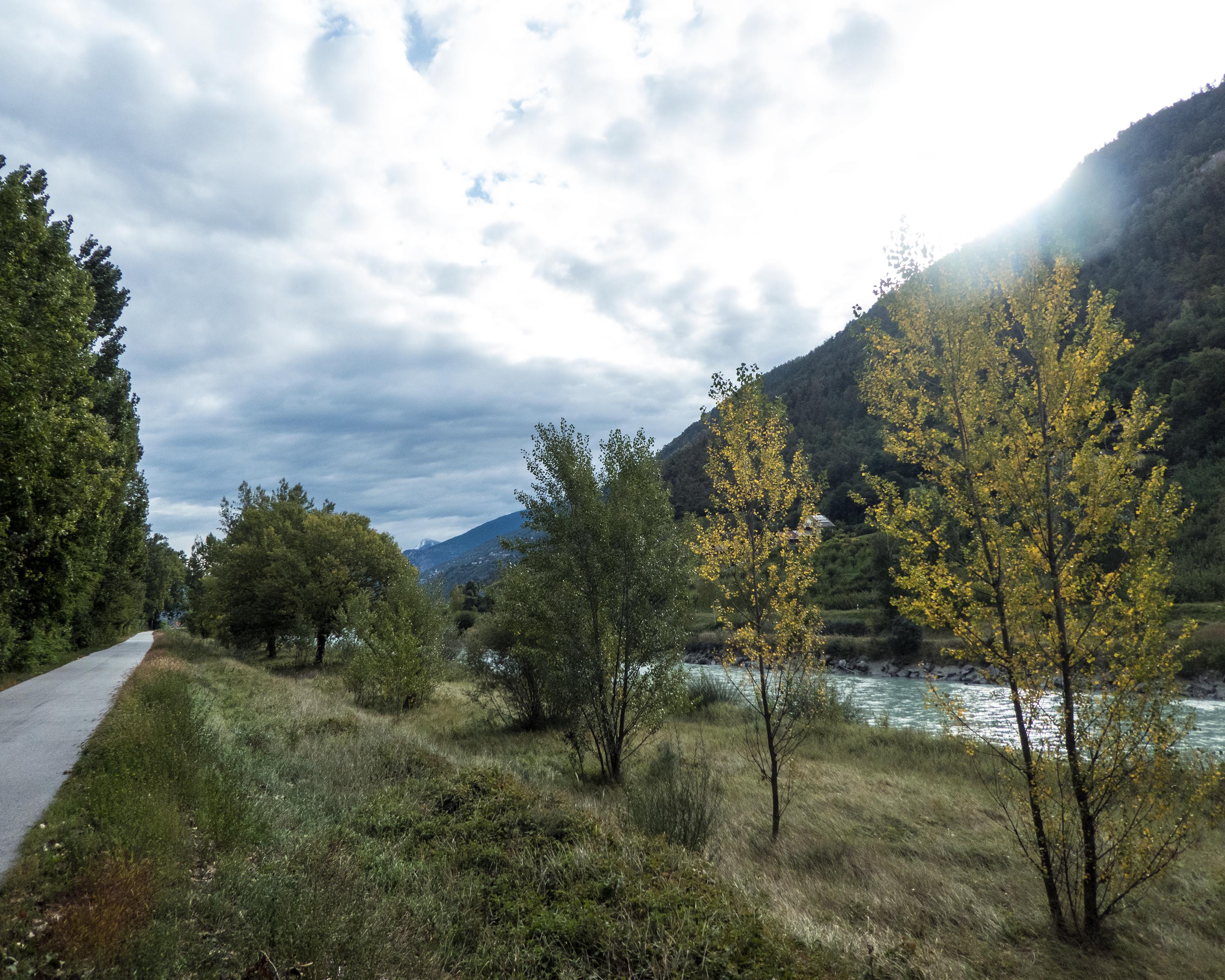
Biking in Valais
Rhone Route
National route No. 1, Sierre–Martigny
Description
National route
No. 1 (Sierre–Martigny)
Length
44 km
Ascent • Descent
↑ 120 m • ↓ 180 m
Lowest point • Highest point
456 m • 528 m
Fitness level
medium
The capital Sion shows its historic castles, churches and mansions. The lower Rhonetal is dominated by the high-alpine scenery of the Dents du Midi. A world of fertile fruit orchards and vineyards.
Comments on this information?
We welcome your feedback!
Presented by
Route
Height profile
Weather:
More...
Comments about this activity or place?
Incorrect information
Missing information
Another topic
Thank you for your feedback!
Close