DE
FR
IT
EN
Directory
Weather
Map / Route
Timetable
Leisure
TV guide
Cinema
Web search
Apps
More
Personal Data »
Login:
Register
Password forgotten
or
Log in with local.ch
Log in with Apple
Log in with Facebook
Log in with Google
Log in with LinkedIn
Please note that our new
privacy statement
as well as the revised
terms and conditions of use
apply.
Leisure
Hike
Sentiero Salèi e Pizzo Zucchero
Local route No. 638, Spruga–Comologno
Description
Local route
No. 638 (Spruga–Comologno)
Length
12 km
Ascent • Descent
↑ 1150 m • ↓ 1100 m
Lowest point • Highest point
1086 m • 1976 m
Hiking time
5 h 20 min
Grade
medium (mountain hiking trail)
Fitness level
difficult
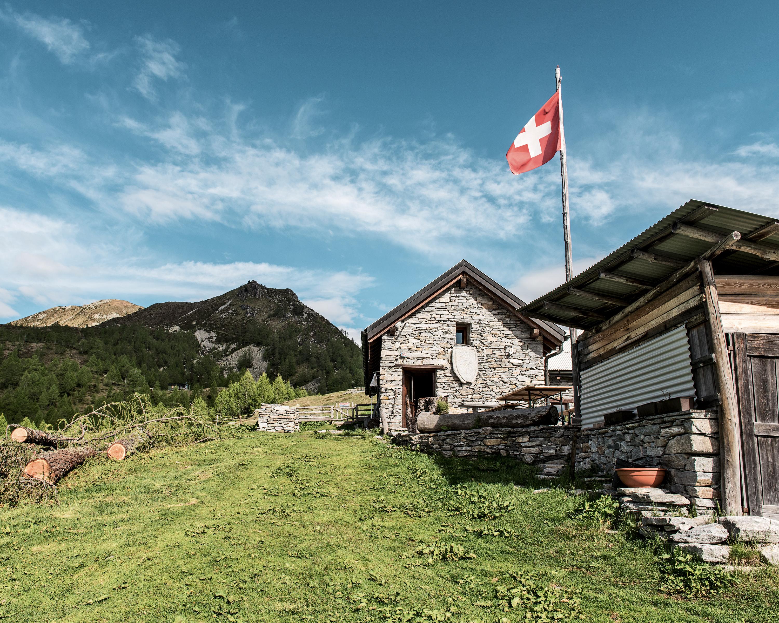
A scenic hike through the wildest valley in the Lake Maggiore region. Enjoy the Onsernone Valley's tranquillity on old paths. Dense forests, waterfalls and hidden rustici line the route. The views extend over the deep valleys to Lake Maggiore.
Booking Information
E-mail:
info@ascona-locarno.com
Comments on this information?
We welcome your feedback!
Presented by
Route
Height profile
Weather:
More...
Organizzazione Turistica Lago Maggiori E Valli
Via Luigi Lavizzari 10C, 6600 Locarno
Organizzazione Turistica Lago Maggiori E Valli
Via Luigi Lavizzari 10C, 6600 Locarno
0848 091 091
Comments about this activity or place?
Incorrect information
Missing information
Another topic
Thank you for your feedback!
Close