DE
FR
IT
EN
Directory
Weather
Map / Route
Timetable
Leisure
TV guide
Cinema
Web search
Apps
More
Personal Data »
Login:
Register
Password forgotten
or
Log in with local.ch
Log in with Apple
Log in with Facebook
Log in with Google
Log in with LinkedIn
Please note that our new
privacy statement
as well as the revised
terms and conditions of use
apply.
Leisure
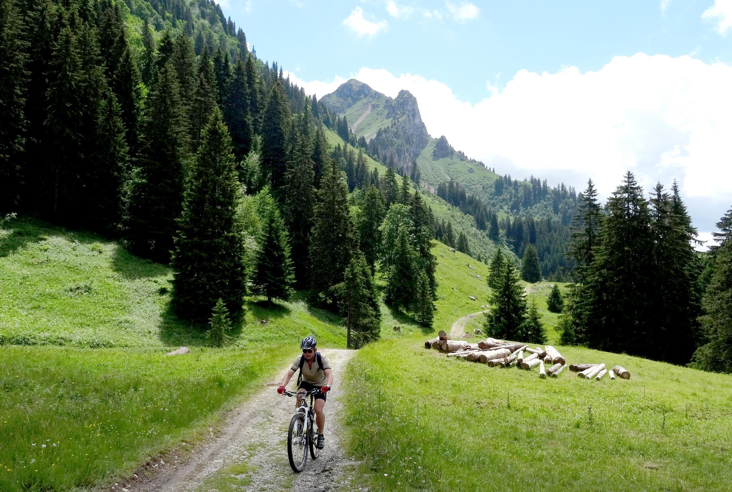
Mountain bike
Panorama Bike
National route No. 2, Charmey–Les Paccots
Description
National route
No. 2 (Charmey–Les Paccots)
Length
41 km
Ascent • Descent
↑ 1400 m • ↓ 1250 m
Lowest point • Highest point
677 m • 1545 m
Grade
medium
Fitness level
difficult
Striking Gruyères Castle from the 11th century and the Lac de la Gruyère – the hallmarks of the region – can bee seen close-up on this tour. The route leads around the Moleson, over Alpine meadows and through forest to Les Paccots.
Comments on this information?
We welcome your feedback!
Presented by
Route
Height profile
Weather:
More...
Comments about this activity or place?
Incorrect information
Missing information
Another topic
Thank you for your feedback!
Close