search.ch

ViaBerna

Regional route No. 38, Tramelan–St-Imier
  • Image 1

Description

Regional route
No. 38 (Tramelan–St-Imier)
Length
19 km
Ascent • Descent
↑ 620 m • ↓ 720 m
Lowest point • Highest point
791 m • 1290 m
Hiking time
5 h 20 min
Grade
easy (hiking trail)
Fitness level
difficult
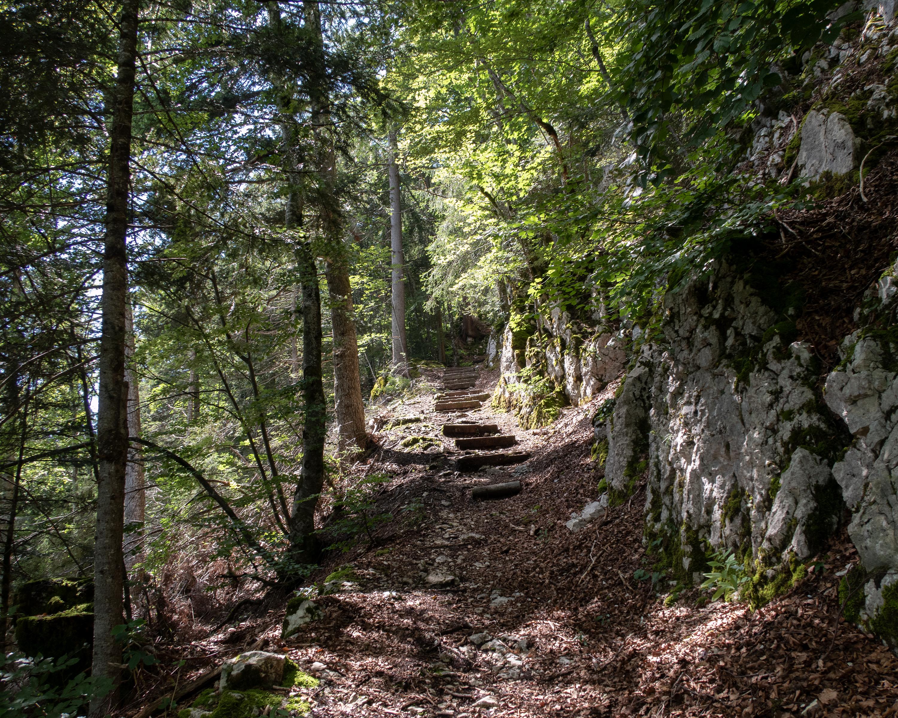
The next stage runs from the watchmaking town of Tramelan up to the Montagne de Droit. You hike through the largest wind farm in Switzerland and then past a solar power plant to Mont Soleil. Finally, the stony path in the forest leads down steeply across the Jura fold to the little town of St. Imier.

Height profile

Weather:

Comments about this activity or place?

Thank you for your feedback!