DE
FR
IT
EN
Directory
Weather
Map / Route
Timetable
Leisure
TV guide
Cinema
Web search
Apps
More
Personal Data »
Login:
Register
Password forgotten
or
Log in with local.ch
Log in with Apple
Log in with Facebook
Log in with Google
Log in with LinkedIn
Please note that our new
privacy statement
as well as the revised
terms and conditions of use
apply.
Leisure
Activities in Freiberge / Saignelégier
Chemin des Crêtes des Franches-Montagnes
Local route No. 458, Les Breuleux–Le Noirmont
Description
Local route
No. 458 (Les Breuleux–Le Noirmont)
Length
10 km
Ascent • Descent
↑ 220 m • ↓ 280 m
Lowest point • Highest point
969 m • 1179 m
Hiking time
2 h 35 min
Grade
easy (hiking trail)
Fitness level
easy
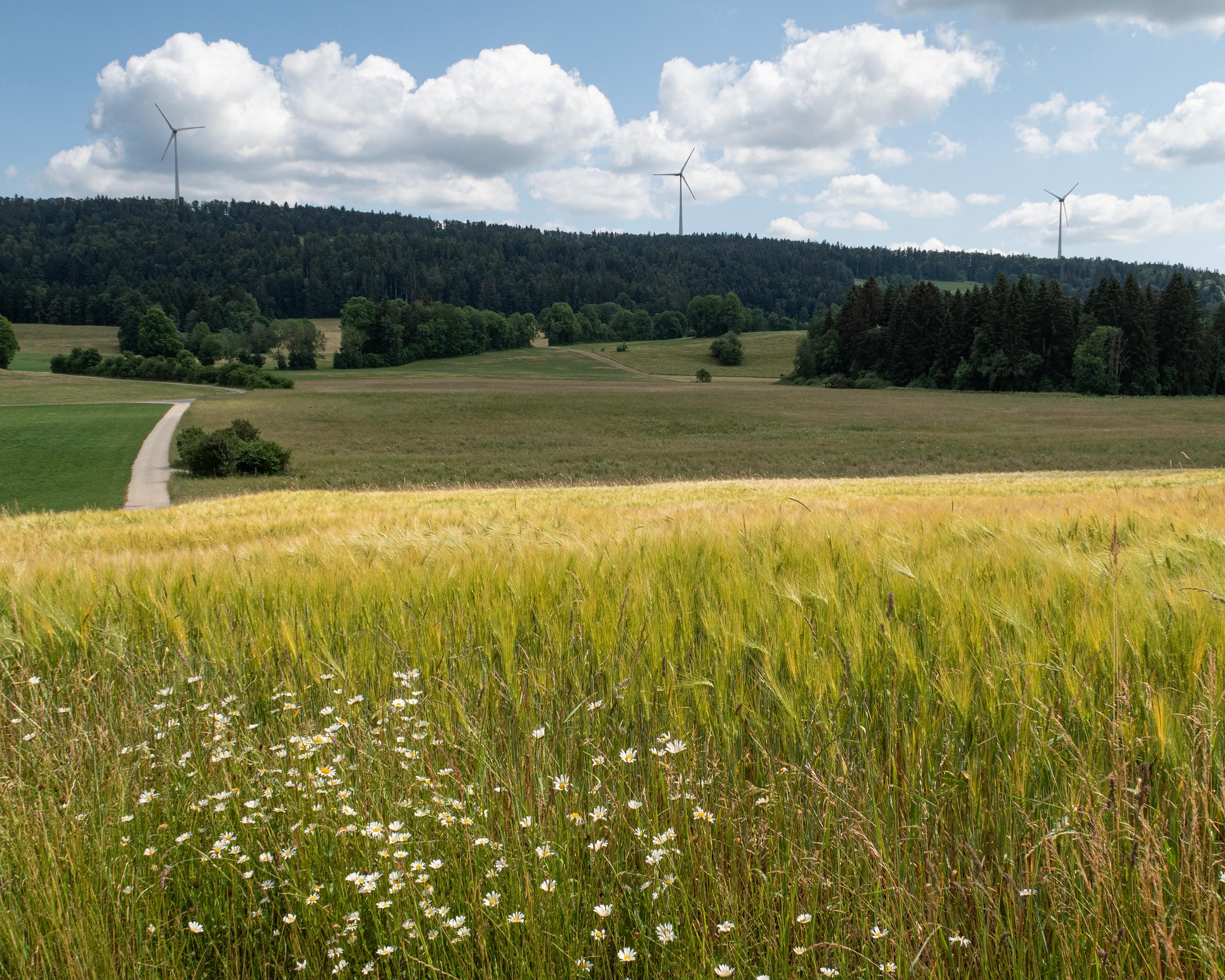
A hike on the Franches-Montagnes plateau, alternating between ridges, wooded pastures, traditional hamlets and magnificent views of the Jura mountains. The wind turbines of Le Peuchapatte and Mont-Crosin in the background will spice up your hike.
Booking Information
E-mail:
info@juratourisme.ch
Comments on this information?
We welcome your feedback!
Presented by
Route
Height profile
Weather:
More...
Jura Tourisme
Rue de la Gruère 6, 2350 Saignelégier
Jura Tourisme
Rue de la Gruère 6, 2350 Saignelégier
032 432 41 60
Comments about this activity or place?
Incorrect information
Missing information
Another topic
Thank you for your feedback!
Close