Local route No. 546, Grächen, Hannigalp–Grächen, Hannigalp
Description
Local route
No. 546 (Grächen, Hannigalp–Grächen, Hannigalp)
Length
7 km
Ascent • Descent
↑ 540 m • ↓ 540 m
Lowest point • Highest point
2120 m • 2633 m
Grade
medium
Fitness level
easy
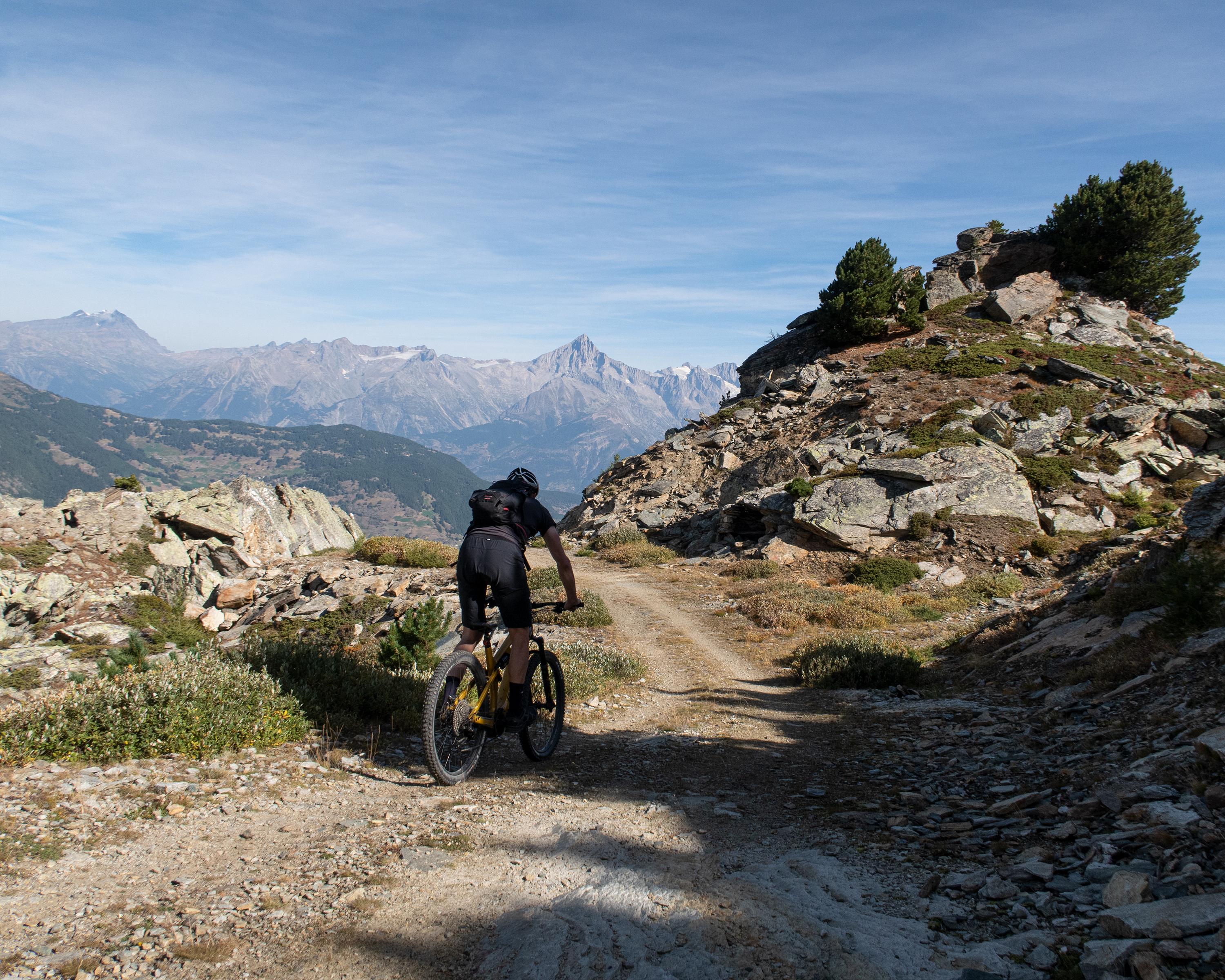
The Hannig Loop is a challenging, high-mountain tour at the foot of the Wannehorn. Bikers who choose this trail should be in excellent condition. In turn, it offers fantastic views of the Visp and Matter Valleys and of the Augstbord region.