search.ch

ViaJacobi

National route No. 4, Huttwil–Burgdorf
  • Image 1

Description

National route
No. 4 (Huttwil–Burgdorf)
Length
24 km
Ascent • Descent
↑ 680 m • ↓ 780 m
Lowest point • Highest point
532 m • 858 m
Hiking time
6 h 20 min
Grade
easy (hiking trail)
Fitness level
difficult
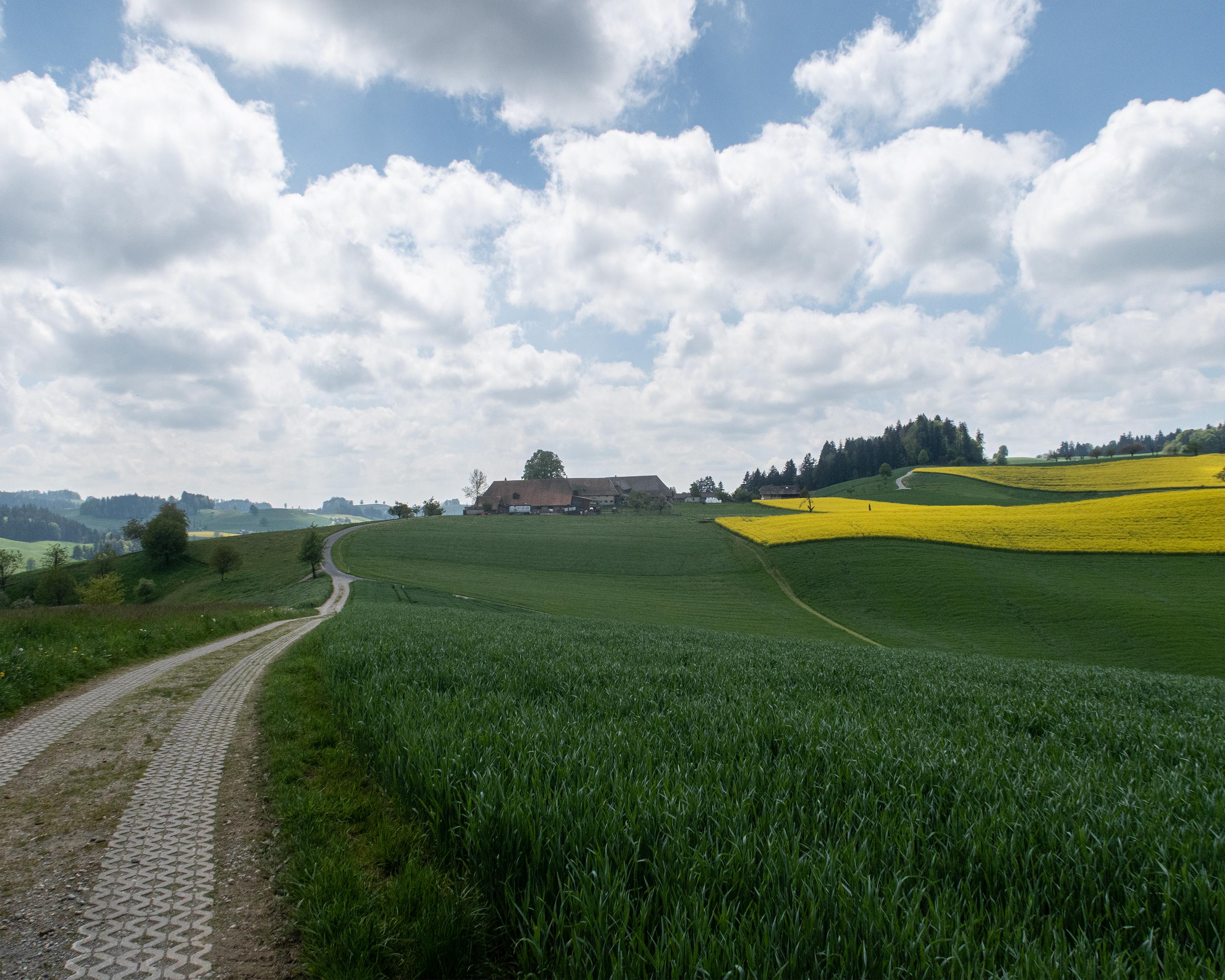
Various key points of national importance line the ViaJacobi between Huttwil and Burgdorf. The Leuenhohle sunken lane, for example, was cut several metres deep into the sandstone. The former hospice with chapel, Dürrenroth Church and Burgdorf Castle are fascinating witnesses of the times.

Height profile

Weather:

Comments about this activity or place?

Thank you for your feedback!