search.ch

Zürichsee-Rundweg

Regional route No. 84, Richterswil–Pfäffikon SZ
  • Image 1

Description

Regional route
No. 84 (Richterswil–Pfäffikon SZ)
Length
17 km
Ascent • Descent
↑ 760 m • ↓ 760 m
Lowest point • Highest point
405 m • 1097 m
Hiking time
5 h 10 min
Grade
easy (hiking trail)
Fitness level
difficult
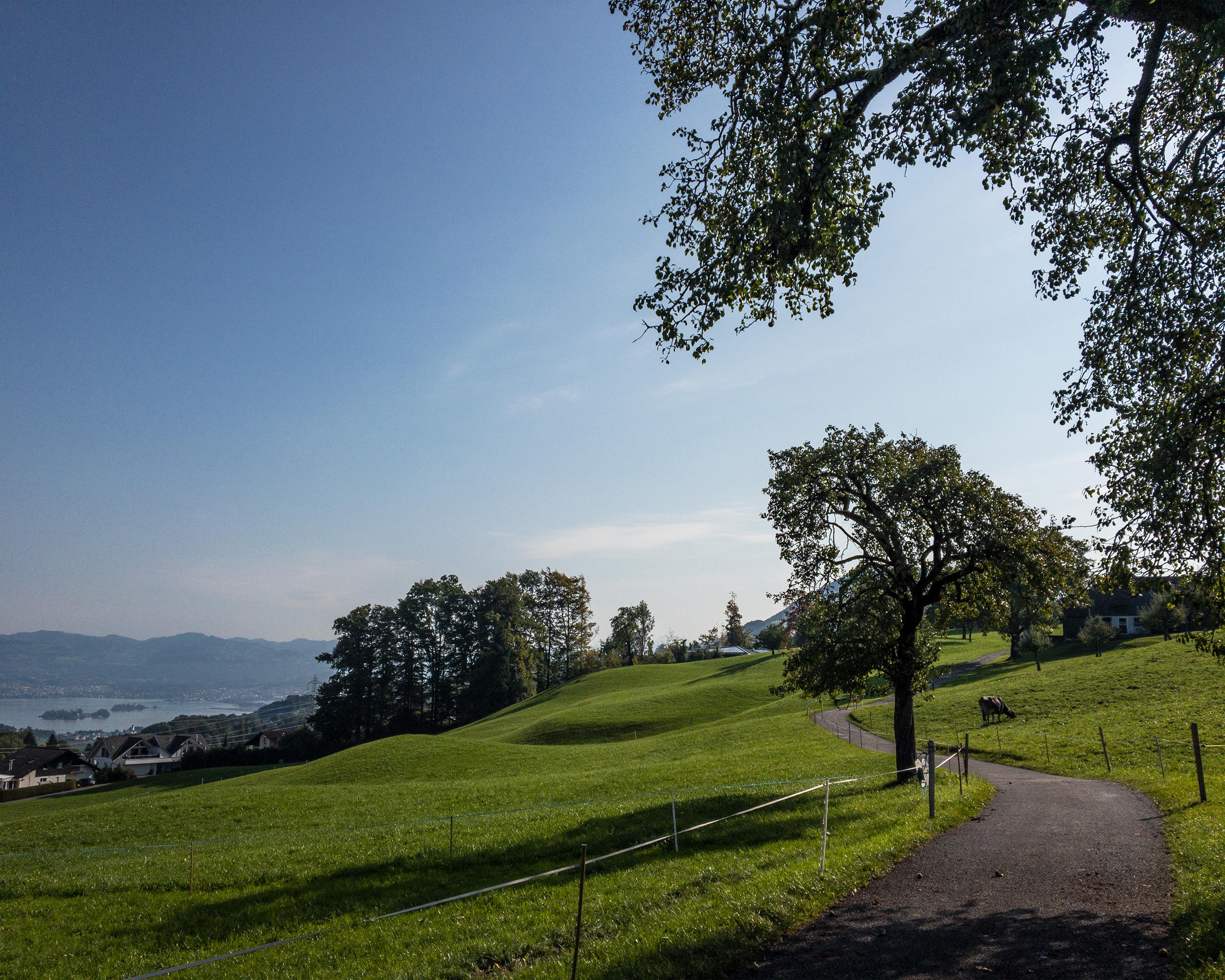
The mountain stage of the Lake Zurich circuit takes you steadily upwards from Richterswil to the viewing point at Etzel, where you can take in a panoramic vista of the whole lake and more than 250 majestic peaks. The route then passes through forests and fields back to sea level in Pfäffikon SZ.

Height profile

Weather:

Comments about this activity or place?

Thank you for your feedback!