search.ch

Tour du Haut-Lac

Local route No. 120, Le Bouveret–Le Bouveret
  • Image 1

Description

Local route
No. 120 (Le Bouveret–Le Bouveret)
Length
52 km
Ascent • Descent
↑ 460 m • ↓ 460 m
Lowest point • Highest point
373 m • 545 m
Fitness level
medium
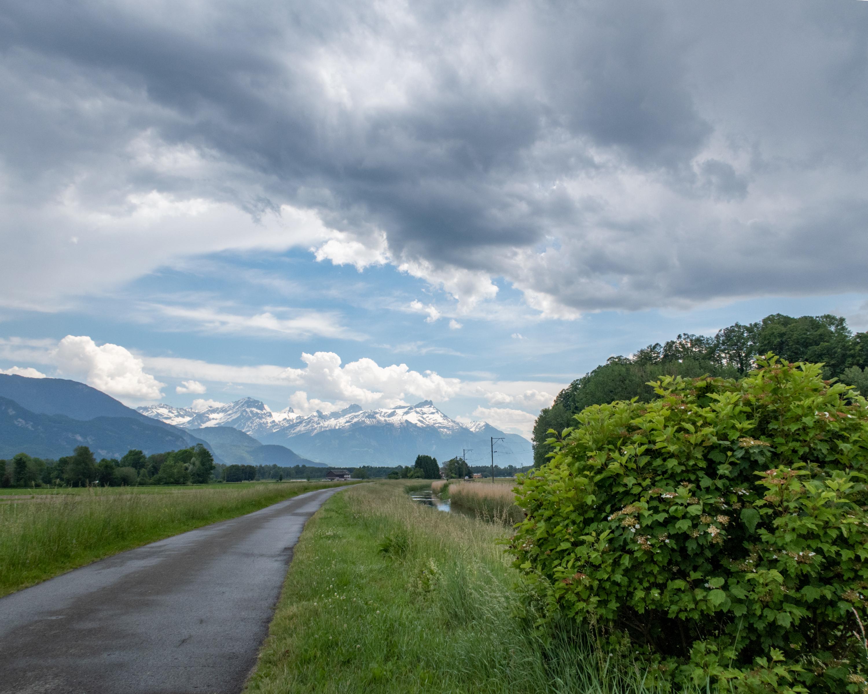
A nice route easily accessible to everyone which takes you through the Rhone valley between farmland and forest belts. A journey on the water's edge: the river Rhone, Lake Geneva and the Stockalper channel. Not to mention the picturesque villages and many restaurants.

Booking Information

Height profile

Weather:

Comments about this activity or place?

Thank you for your feedback!