DE
FR
IT
EN
Directory
Weather
Map / Route
Timetable
Leisure
TV guide
Cinema
Web search
Apps
More
Personal Data »
Login:
Register
Password forgotten
or
Log in with local.ch
Log in with Apple
Log in with Facebook
Log in with Google
Log in with LinkedIn
Please note that our new
privacy statement
as well as the revised
terms and conditions of use
apply.
Leisure
Activities
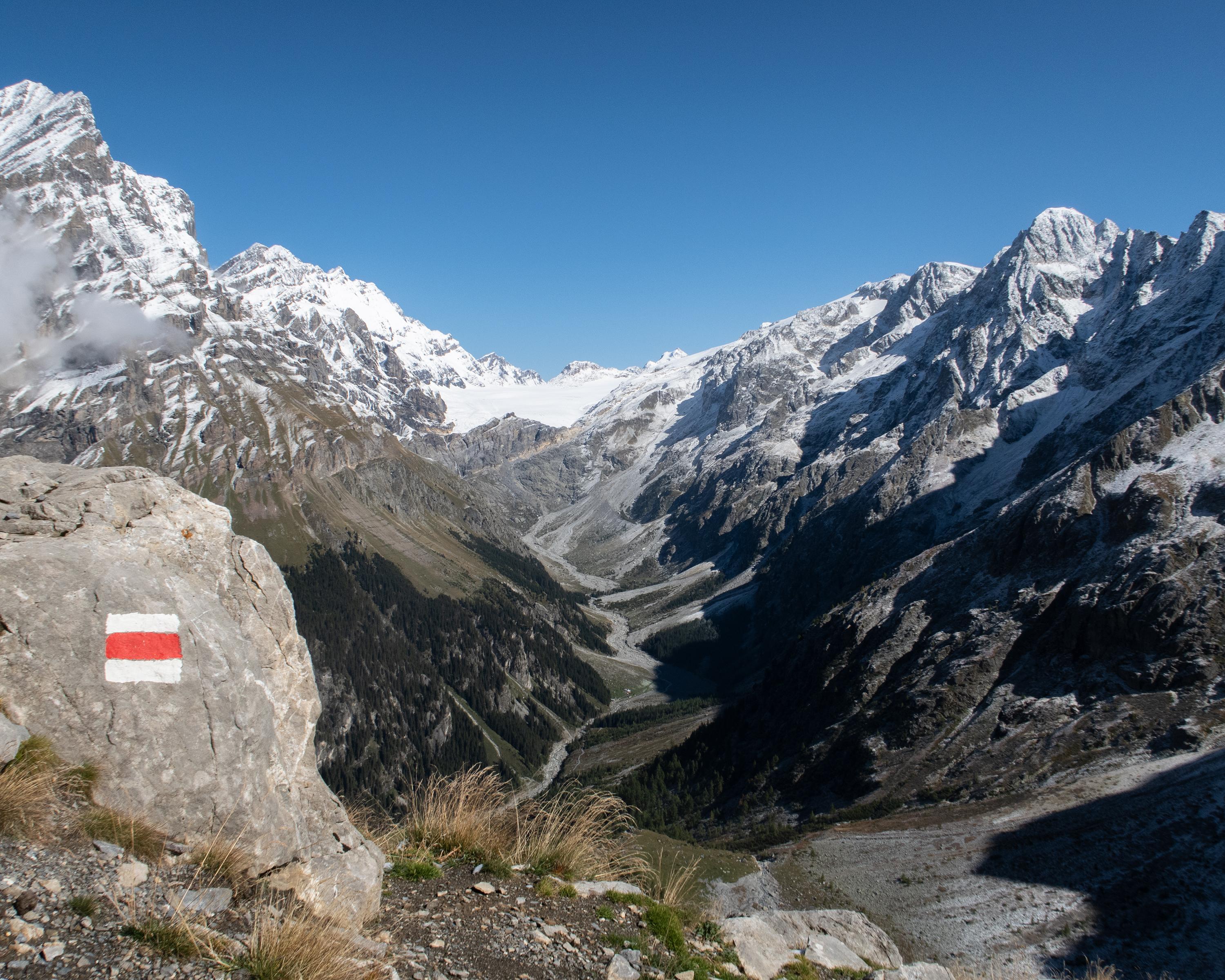
Lötschberg-Panoramaweg
Regional route No. 56, Selden–Lauchernalp
Description
Regional route
No. 56 (Selden–Lauchernalp)
Length
11 km
Ascent • Descent
↑ 1250 m • ↓ 700 m
Lowest point • Highest point
1539 m • 2690 m
Hiking time
5 h
Grade
medium (mountain hiking trail)
Fitness level
difficult
The king’s stage: a glacier traverse and climb to the Lötschenpass. A route through a stunning landscape with spectacular close-up views of the Bietschhorn and Mischabel group. Descent to Lauchernalp through glacier-eroded terrain laced with lakes.
Comments on this information?
We welcome your feedback!
Presented by
Route
Height profile
Weather:
More...
Comments about this activity or place?
Incorrect information
Missing information
Another topic
Thank you for your feedback!
Close