search.ch

Niederhorn-Panoramaweg

Local route No. 342, Niederhorn–Waldegg
  • Image 1

Description

Local route
No. 342 (Niederhorn–Waldegg)
Length
11 km
Ascent • Descent
↑ 380 m • ↓ 1100 m
Lowest point • Highest point
1201 m • 2063 m
Hiking time
3 h 35 min
Grade
medium (mountain hiking trail)
Fitness level
difficult
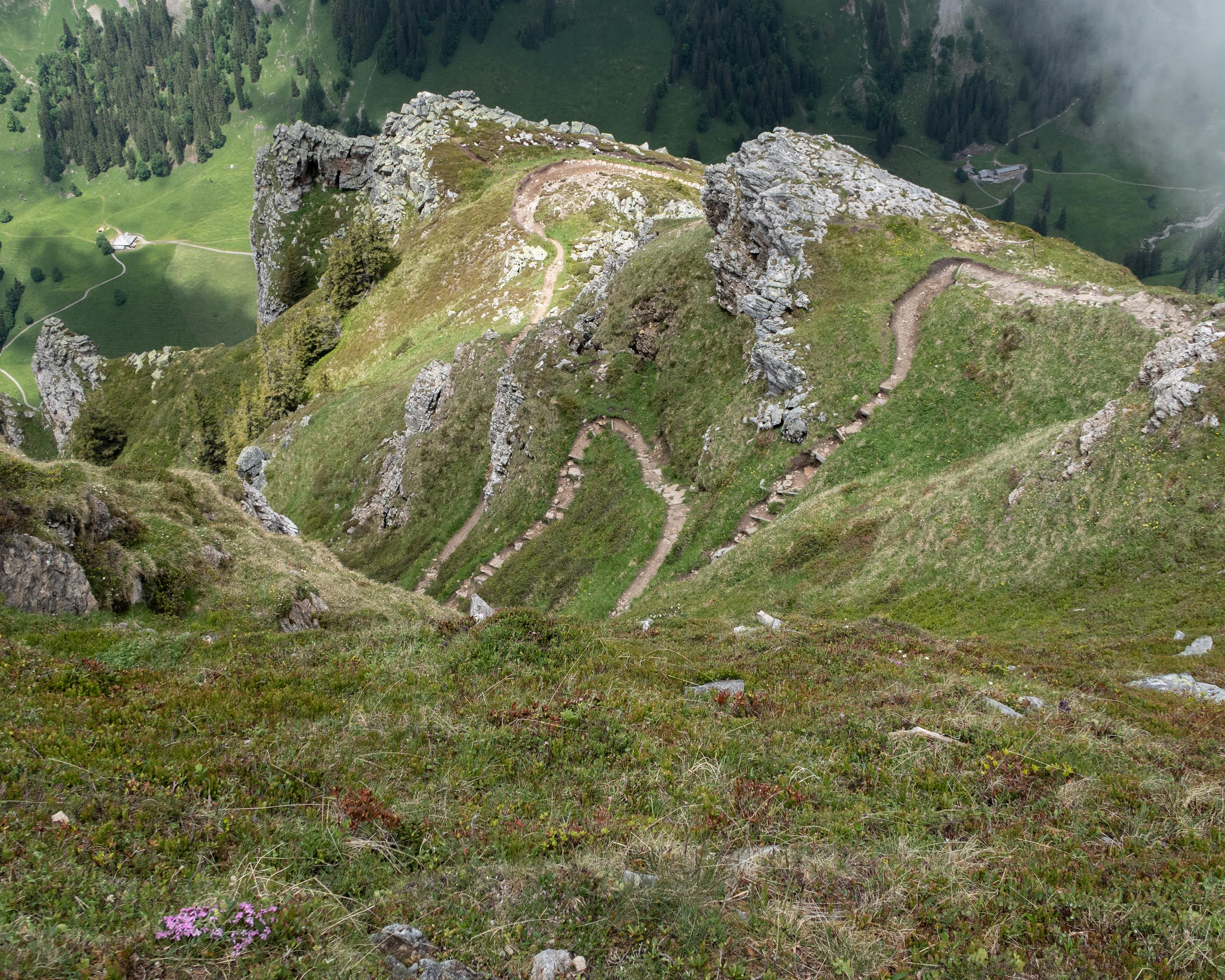
Impressive panoramic hike facing the Eiger, Mönch and Jungfrau peaks. It leads over the Güggisgrat ridge with spectacular views of the Justistal valley deep below and continues on the partly exposed path up to the Gemmenalphorn. Then over hill and dale downhill towards Chüematte, and in the last section over alpine pastures to Waldegg.

Booking Information

Height profile

Weather:

Interlaken Tourismus

Comments about this activity or place?

Thank you for your feedback!