DE
FR
IT
EN
Directory
Weather
Map / Route
Timetable
Leisure
TV guide
Cinema
Web search
Apps
More
Personal Data »
Login:
Register
Password forgotten
or
Log in with local.ch
Log in with Apple
Log in with Facebook
Log in with Google
Log in with LinkedIn
Please note that our new
privacy statement
as well as the revised
terms and conditions of use
apply.
Leisure
Biking
Thurgauer Panorama-Route
Regional route No. 47, Romanshorn–Wil SG
Description
Regional route
No. 47 (Romanshorn–Wil SG)
Length
35 km
Ascent • Descent
↑ 580 m • ↓ 400 m
Lowest point • Highest point
395 m • 625 m
Fitness level
medium
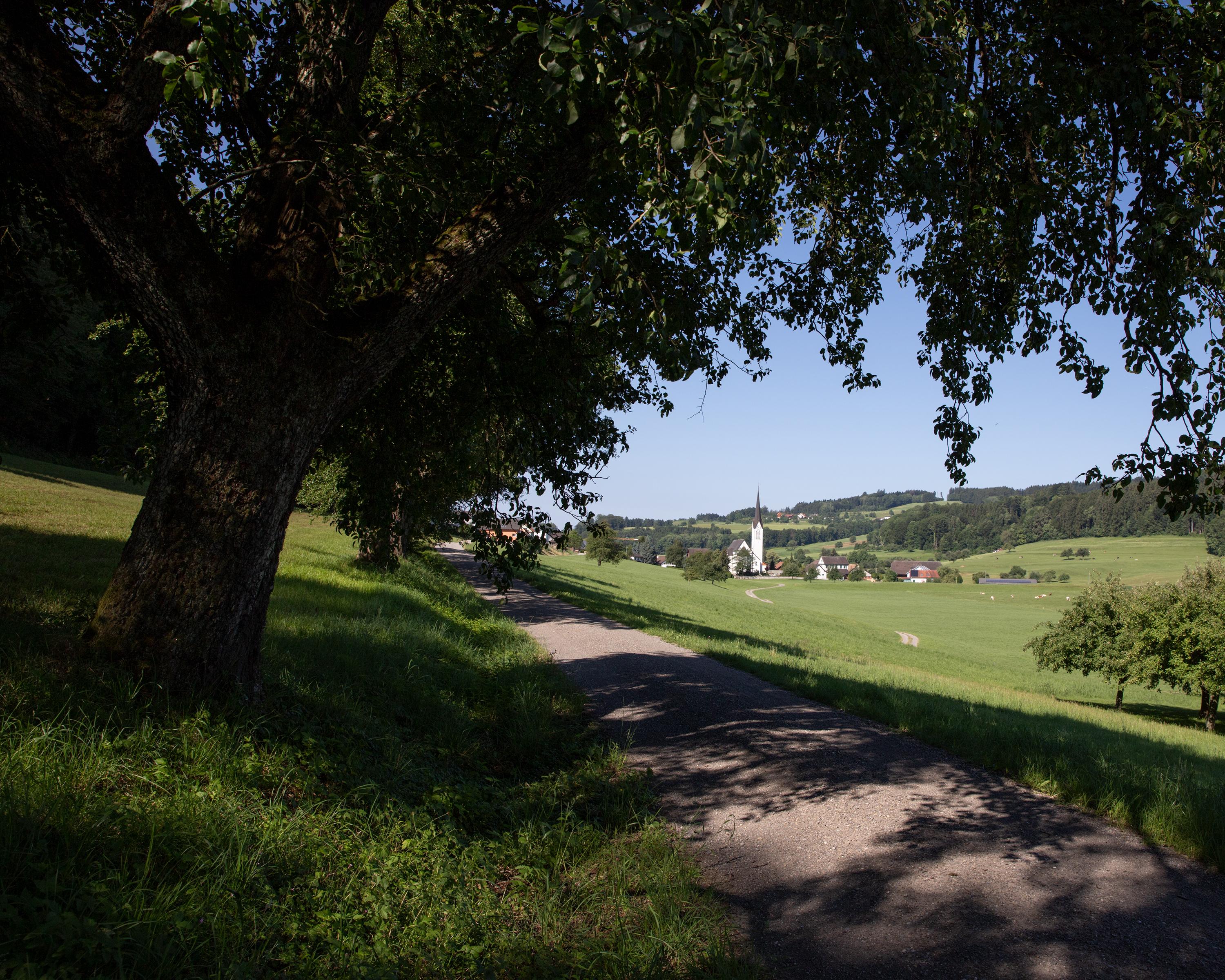
From Romanshorn the route climbs to the imposing moated castle of Hagenwil, and on over green hills. Then down and over the Thur, a tamed river. Soon visible, the old medieval town of Wil, centre of the Fürstenland region.
Comments on this information?
We welcome your feedback!
Presented by
Route
Height profile
Weather:
More...
Comments about this activity or place?
Incorrect information
Missing information
Another topic
Thank you for your feedback!
Close