search.ch

Tour du Lac de Moiry

Local route No. 221, Moiry, Barrage–Moiry, Barrage
  • Image 1

Description

Local route
No. 221 (Moiry, Barrage–Moiry, Barrage)
Length
14 km
Ascent • Descent
↑ 840 m • ↓ 840 m
Lowest point • Highest point
2249 m • 2594 m
Hiking time
4 h 45 min
Grade
medium (mountain hiking trail)
Fitness level
medium
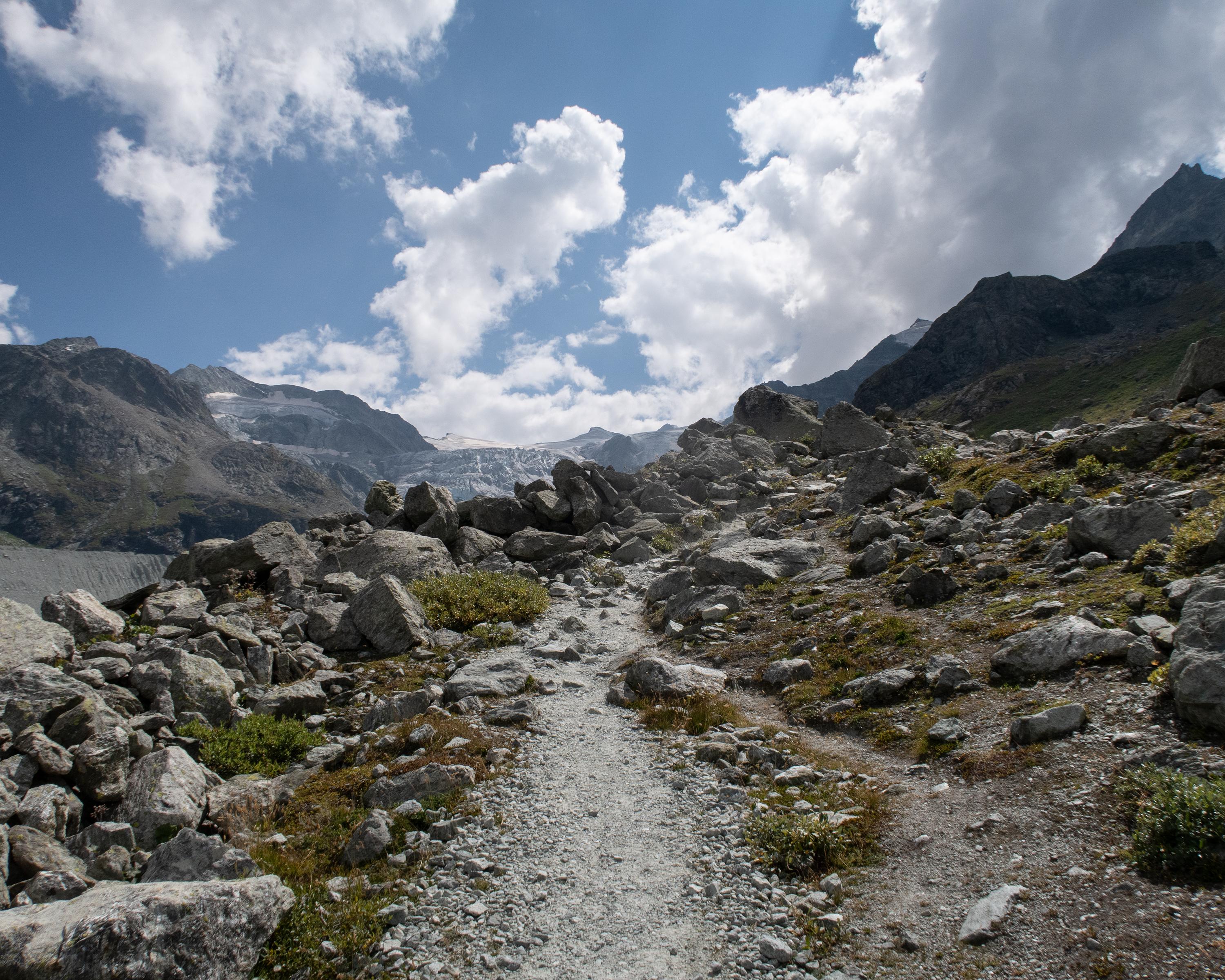
High-altitude trail around the lake of Moiry at 2,500 m.a.s.l. The hike through the spectacular alpine landscapes shaped by glaciers promises beautiful views of the dam with its lake, the wild Moiry valley at the end of the Val d'Anniviers, and the glittering Moiry glacier.

Booking Information

Height profile

Weather:

Comments about this activity or place?

Thank you for your feedback!