DE
FR
IT
EN
Directory
Weather
Map / Route
Timetable
Leisure
TV guide
Cinema
Web search
Apps
More
Personal Data »
Login:
Register
Password forgotten
or
Log in with local.ch
Log in with Apple
Log in with Facebook
Log in with Google
Log in with LinkedIn
Please note that our new
privacy statement
as well as the revised
terms and conditions of use
apply.
Leisure
Biking
Glatt-Route
Regional route No. 29, Glattfelden (Rheinsfelden)–Zürich (Schwamendingen)
Description
Regional route
No. 29 (Glattfelden (Rheinsfelden)–Zürich (Schwamendingen))
Length
30 km
Ascent • Descent
↑ 240 m • ↓ 130 m
Lowest point • Highest point
338 m • 465 m
Fitness level
easy
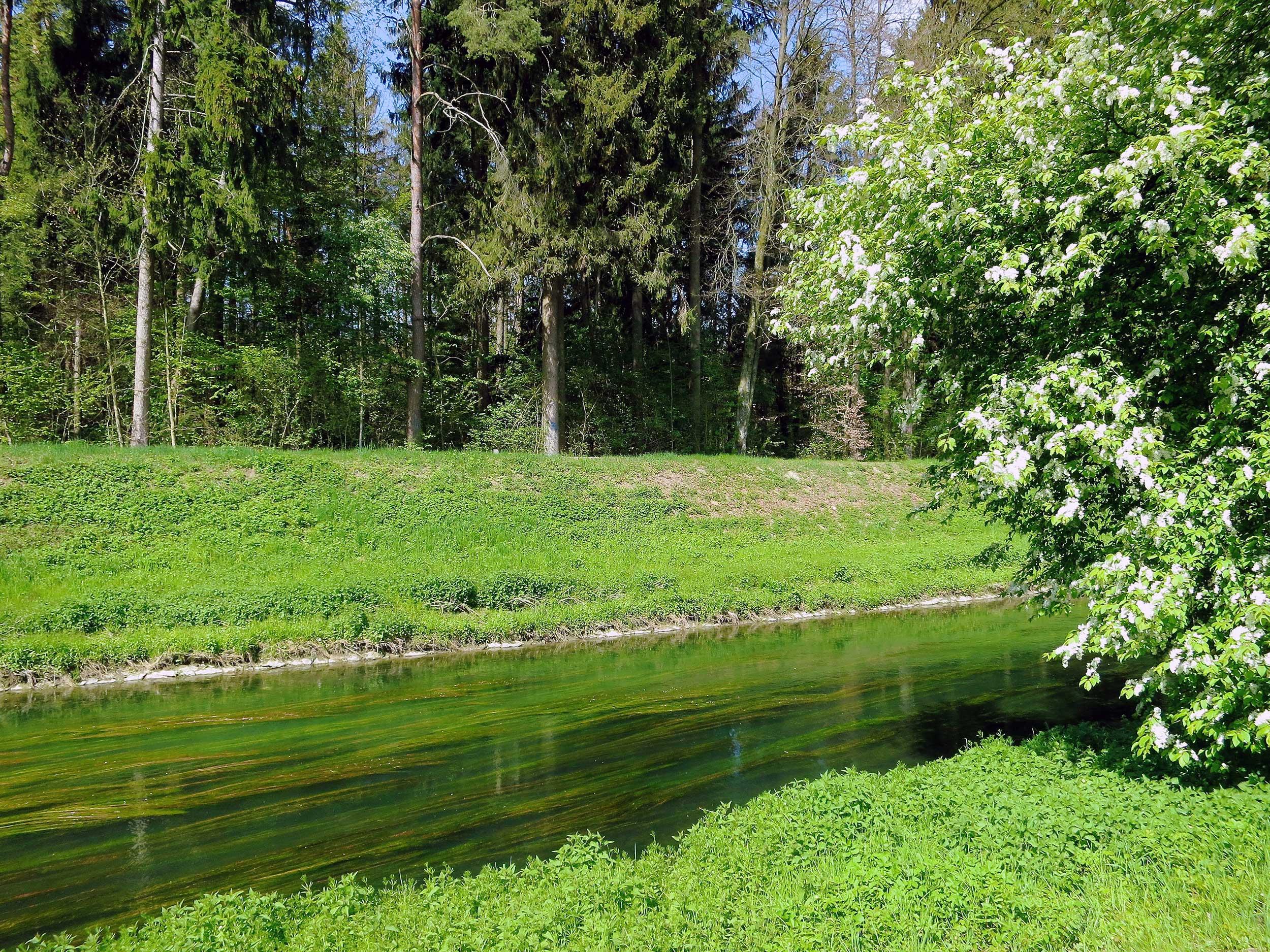
The Glatt and the cycling path wind through the flat Zurich Unterland, unnoticed by the thriving busy residential and industrial settlements, seen only by the unavoidable airborne mass of giant silver-aluminium «birds».
Comments on this information?
We welcome your feedback!
Presented by
Route
Height profile
Weather:
More...
Comments about this activity or place?
Incorrect information
Missing information
Another topic
Thank you for your feedback!
Close