search.ch

Via Engiadina

Regional route No. 87, Lavin–Guarda
  • Image 1

Description

Regional route
No. 87 (Lavin–Guarda)
Length
13 km
Ascent • Descent
↑ 1100 m • ↓ 840 m
Lowest point • Highest point
1422 m • 2239 m
Hiking time
5 h
Grade
medium (mountain hiking trail)
Fitness level
difficult
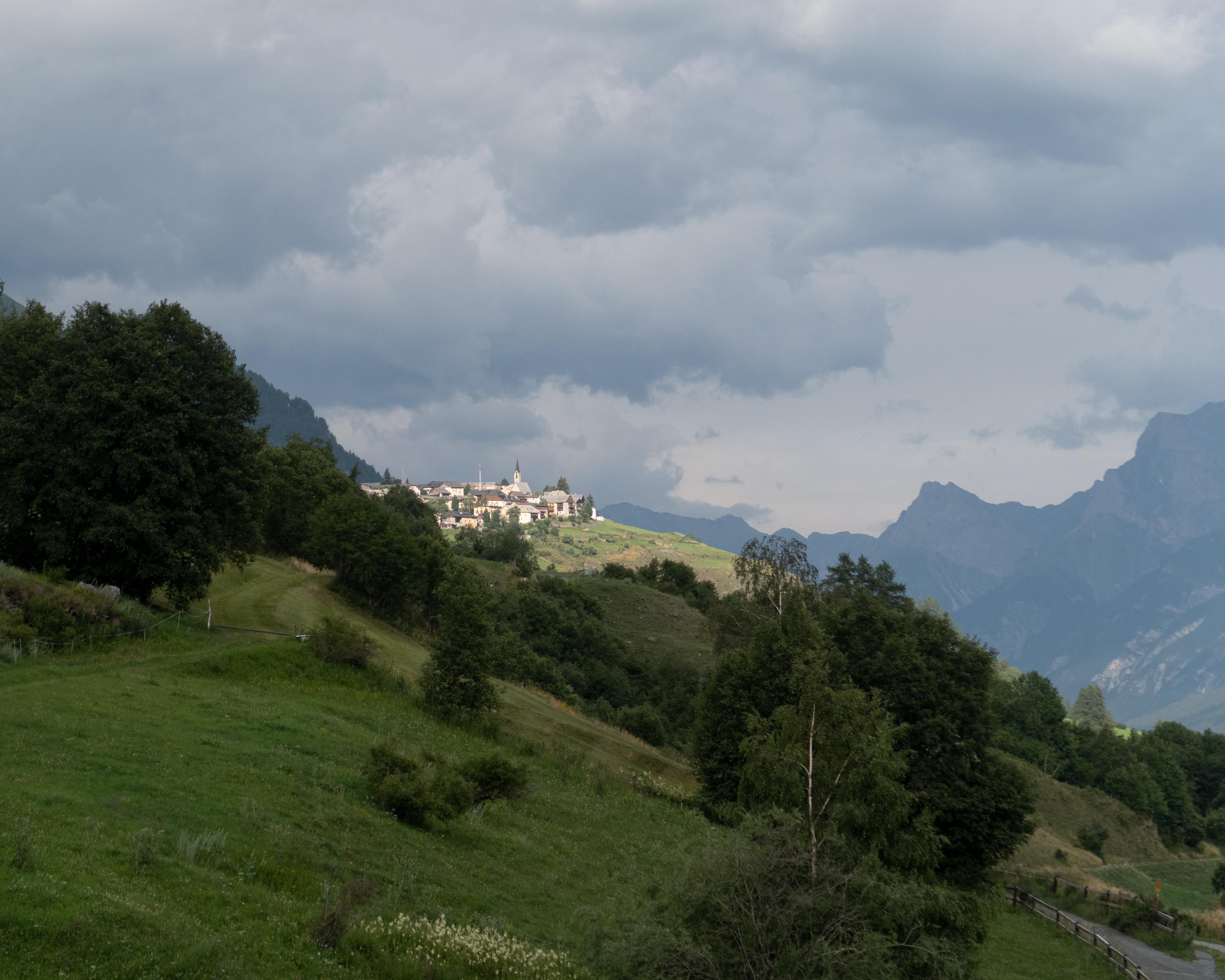
Through the wild valleys north of Lavin and Guarda, and above the tree line on narrow paths along the steep hillside. Past rhododendron bushes and across stony hillsides. You have a magnificent view of the surrounding 3,000 m peaks. The hike ends in the ruggedly attractive town of Guarda.

Height profile

Weather:

Comments about this activity or place?

Thank you for your feedback!