DE
FR
IT
EN
Directory
Weather
Map / Route
Timetable
Leisure
TV guide
Cinema
Web search
Apps
More
Personal Data »
Login:
Register
Password forgotten
or
Log in with local.ch
Log in with Apple
Log in with Facebook
Log in with Google
Log in with LinkedIn
Please note that our new
privacy statement
as well as the revised
terms and conditions of use
apply.
Leisure
Biking
Thur-Route
Regional route No. 95, Bischofszell–Nesslau
Description
Regional route
No. 95 (Bischofszell–Nesslau)
Length
53 km
Ascent • Descent
↑ 720 m • ↓ 460 m
Lowest point • Highest point
475 m • 764 m
Fitness level
medium
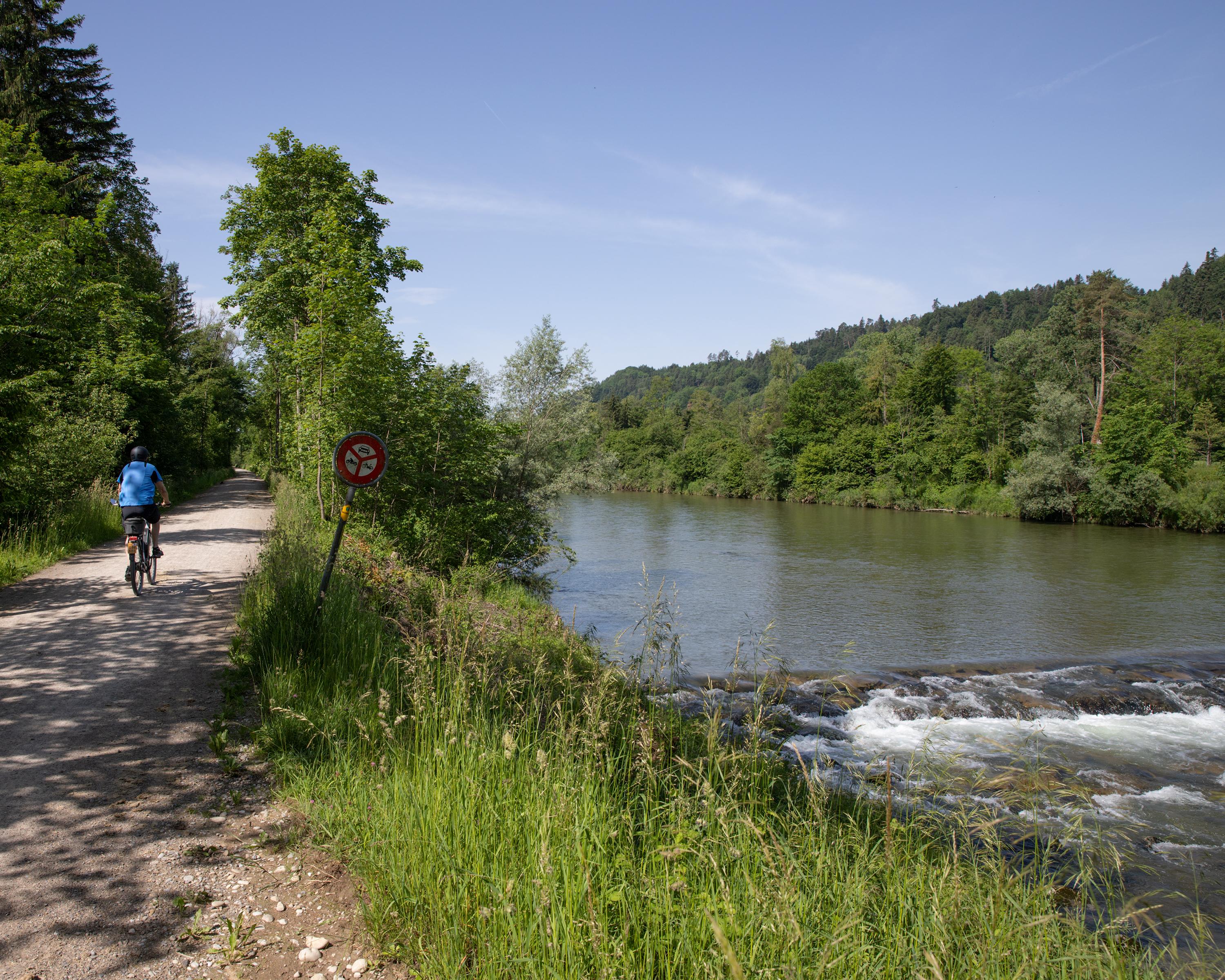
The Thur swings to the west, burrows into sandstone cliffs, the atmosphere becomes strangely haunting. Toggenburg is a hilly and compact landscape, hay farming with scattered farmsteads.
Comments on this information?
We welcome your feedback!
Presented by
Route
Height profile
Weather:
More...
Comments about this activity or place?
Incorrect information
Missing information
Another topic
Thank you for your feedback!
Close