DE
FR
IT
EN
Directory
Weather
Map / Route
Timetable
Leisure
TV guide
Cinema
Web search
Apps
More
Personal Data »
Login:
Register
Password forgotten
or
Log in with local.ch
Log in with Apple
Log in with Facebook
Log in with Google
Log in with LinkedIn
Please note that our new
privacy statement
as well as the revised
terms and conditions of use
apply.
Leisure
Activités in Tessin
Sentiero Cristallina
Regional route No. 59, Bignasco – Airolo
Description
Regional route
No. 59 (Bignasco – Airolo)
Length
43 km
Ascent • Descent
↑ 2900 m • ↓ 2200 m
Lowest point • Highest point
438 m • 2570 m
Hiking time
10 h
Grade
medium
Fitness level
difficult
Regional route No. 59: Sentiero Cristallina
Stages
1. Bignasco – S. Carlo (Val Bavona)
2. S. Carlo (Val Bavona) – Cap. Cristallina
3. Cap. Cristallina – Airolo
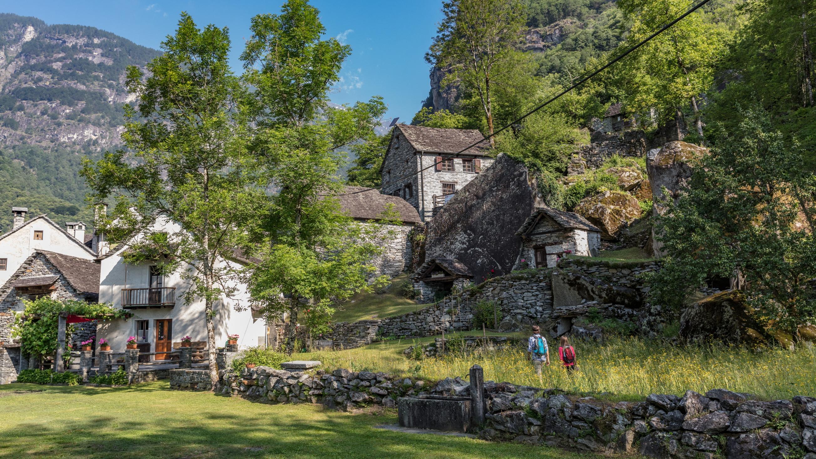
The Sentiero Cristallina links Bignasco in Valle Maggia with Airolo in Val Bedretto. Between them lie steep mountain slopes, a waterfall on a village outskirts, crystalline rock, Alpine lakes/reservoirs, idyllic alps and remote hamlets.
Comments on this information?
We welcome your feedback!
Presented by
Route
Height profile
Weather:
More...
Comments about this activity or place?
Incorrect information
Missing information
Another topic
Thank you for your feedback!
Close