search.ch

Prättigauer Höhenweg, Stage 4/4

Regional route No. 72, Stage 4: St. Antönien – Klosters
  • Image 1

Description

Regional route
No. 72 (Landquart – Klosters)
Length
23 km
Ascent • Descent
↑ 1400 m • ↓ 1600 m
Lowest point • Highest point
1190 m • 2257 m
Hiking time
8 h
Grade
medium
Fitness level
difficult
Regional route No. 72: Prättigauer Höhenweg
Stages
1. Landquart – Schesaplanahütte
2. Schesaplanahütte – Carschinahütte
3. Carschinahütte – St. Antönien
4. St. Antönien – Klosters
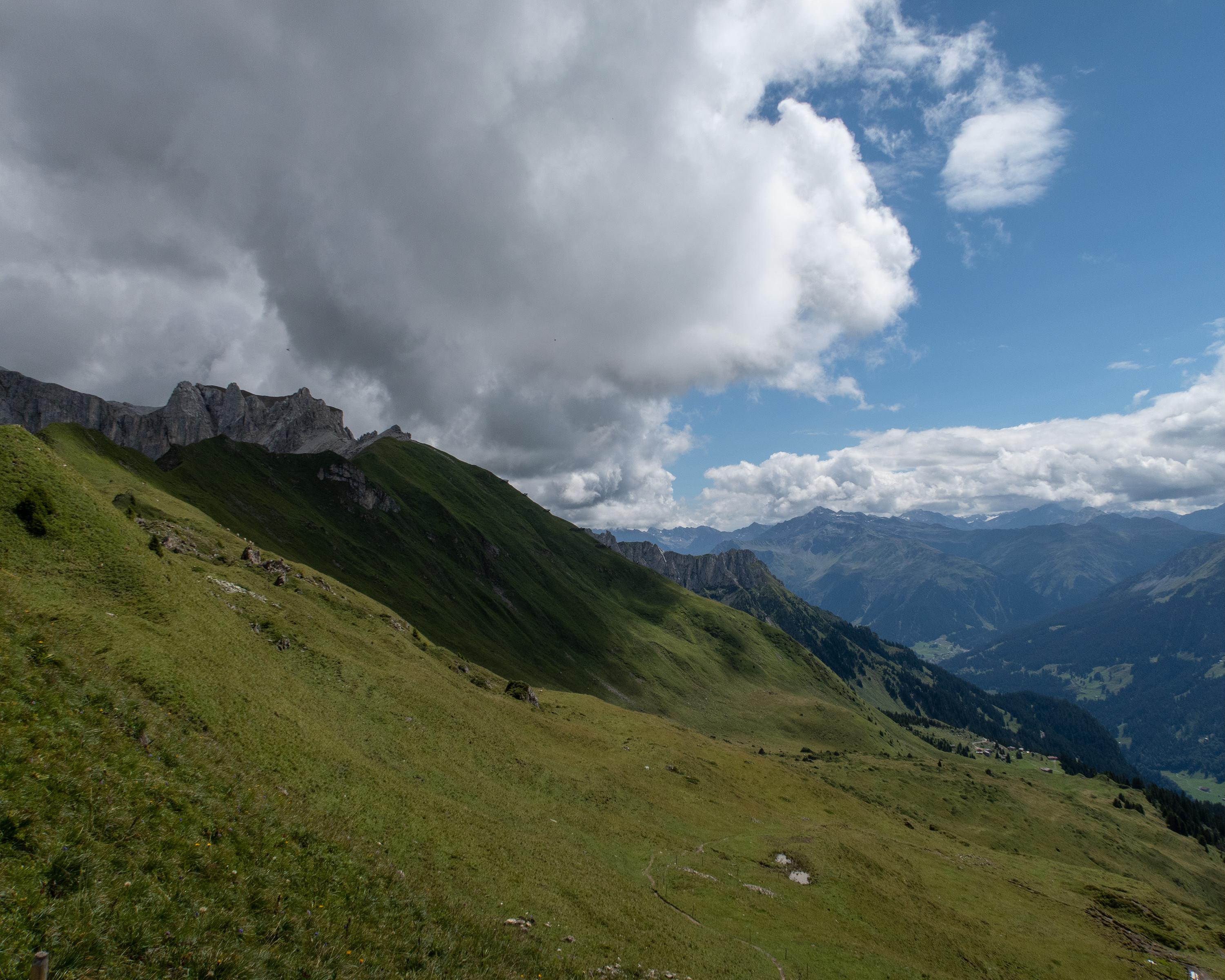
Past individual farmsteads, the route follows the Alpbach stream up to the Jägglisch Horn. At an altitude of 2,257 metres, the view extends across the Rätikon and the Prättigauer Höhenweg. The following traverse leads past the Madrisa Land theme park and Schlappintobel down to Klosters.

Height profile

Weather:

Comments about this activity or place?

Thank you for your feedback!