search.ch

Boucle champêtre du Nord vaudois

Local route No. 624, Yverdon-les-Bains–Yverdon-les-Bains
  • Image 1

Description

Local route
No. 624 (Yverdon-les-Bains–Yverdon-les-Bains)
Length
38 km
Ascent • Descent
↑ 460 m • ↓ 460 m
Lowest point • Highest point
431 m • 682 m
Fitness level
medium
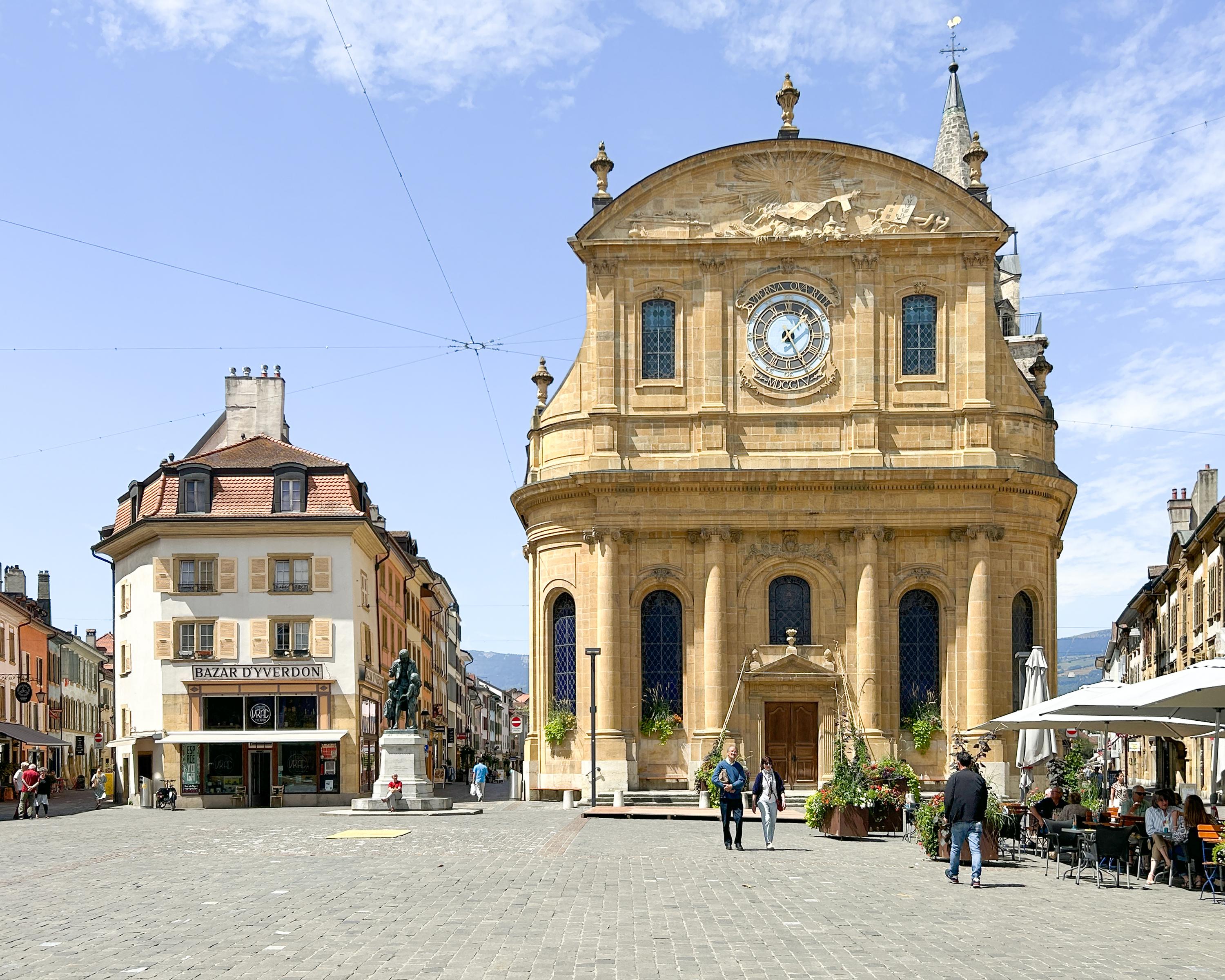
Starting from the spa town of Yverdon-les-Bains, the route, nestled between the Jura on one side and the Alps on the other, leads quickly up to the hills above town. Overlooking Lake Neuchâtel, the trail winds its way through the rural and authentic landscape of northern Vaud.

Booking Information

Height profile

Weather:

Agence ADNV / Office du Tourisme

Comments about this activity or place?

Thank you for your feedback!